Loading...
Loading map...2021 Map of Mina
USGS Topo · Published 2021About this map
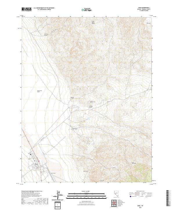
The high-desert settlement of Mina anchors this 2021 study of the Mineral County landscape, where the town’s grid is defined by streets like A St and Front St. Situated within the Soda Spring Valley, the area is bounded by the Gabbs Valley Range to the north and the Pilot Mountains to the southeast. The geography is marked by numerous water sources critical to desert survival, including Tule Spring, Fagans Spring, and the Southern Pacific Spring.
Find a feature on this map
32 named features on this map. Tap any name to fly to it.
Don’t see what you’re looking for? This feature index may not catch every label — zoom into the map to look around manually.
Map Details
Date Portrayed2021
Date Published2021
PublisherU.S. Geological Survey
Map TypeTopographic
Scale1:24000
Physical Dimensions24 x 29 inches
Editions of this 2021 Mina Map
This is the sole edition of this map. No revisions or reprints were ever made.
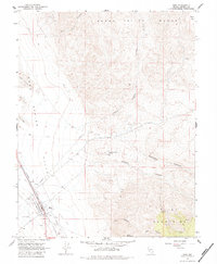
Historical Maps of Mina Through Time
Featured Locations
Source Details
SourceU.S. Geological Survey
CopyrightPublic Domain