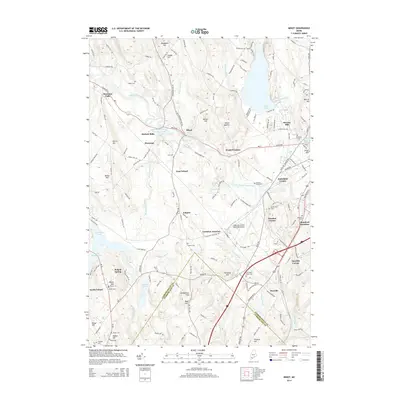
2014 Map of Minot
USGS Topo · Published 2014About this map
Mechanic Falls and the surrounding Androscoggin County landscape are defined by the winding path of the Little Androscoggin River and its accompanying industrial and transit hubs. The 2014 landscape shows a mix of established village centers like Minot and East Poland alongside significant modern infrastructure, most notably the Auburn/Lewiston Municipal Airport. This area has long served as a crossroads, evidenced by named rail and road junctions such as Rumford Junction and Lewiston Junction.
Find a feature on this map
149 named features on this map. Tap any name to fly to it.
Don’t see what you’re looking for? This feature index may not catch every label — zoom into the map to look around manually.
Map Details
Editions of this 2014 Minot Map
This is the sole edition of this map. No revisions or reprints were ever made.
Other maps of this area

1892 · Freeport
USGS Topo · 1:62,500

1894 · Gray
USGS Topo · 1:62,500

1898 · Gray
USGS Topo · 1:62,500

1908 · Poland
USGS Topo · 1:62,500

1908 · Lewiston
USGS Topo · 1:62,500

1940 · Poland
USGS Topo · 1:62,500

1941 · Freeport
USGS Topo · 1:62,500

1942 · Lewiston
USGS Topo · 1:62,500

1942 · Poland
USGS Topo · 1:62,500

1942 · Gray
USGS Topo · 1:62,500