2024 Map of Mission
USGS Topo · Published 2024About this map
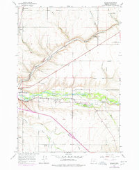
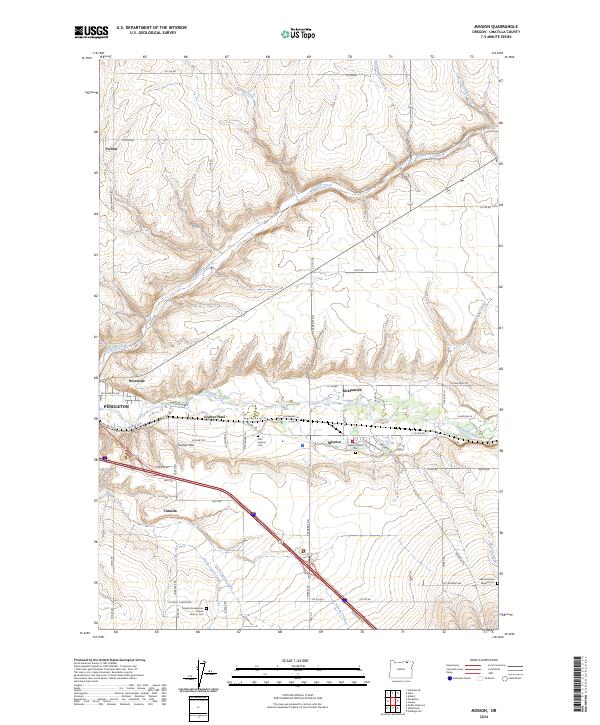
The Umatilla River valley east of Pendleton serves as the primary corridor for settlement and transit in this portion of Umatilla County. The community of Mission acts as a central hub, surrounded by a landscape marked by its tribal and cultural heritage. This history is physically recorded through several significant sites, including the Old Agency Cem, the Agency Indian Cem, and the Tutuilla Presbyterian Indian Mission Cem. These locations, along with Saint Andrews Mission Cem, provide vital touchpoints for genealogical research and local history within the reservation.
Find a feature on this map
73 named features on this map. Tap any name to fly to it.
Don’t see what you’re looking for? This feature index may not catch every label — zoom into the map to look around manually.
Map Details
Editions of this 2024 Mission Map
This is the sole edition of this map. No revisions or reprints were ever made.