2022 Map of Miston
USGS Topo · Published 2022About this map
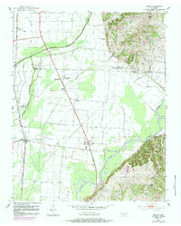
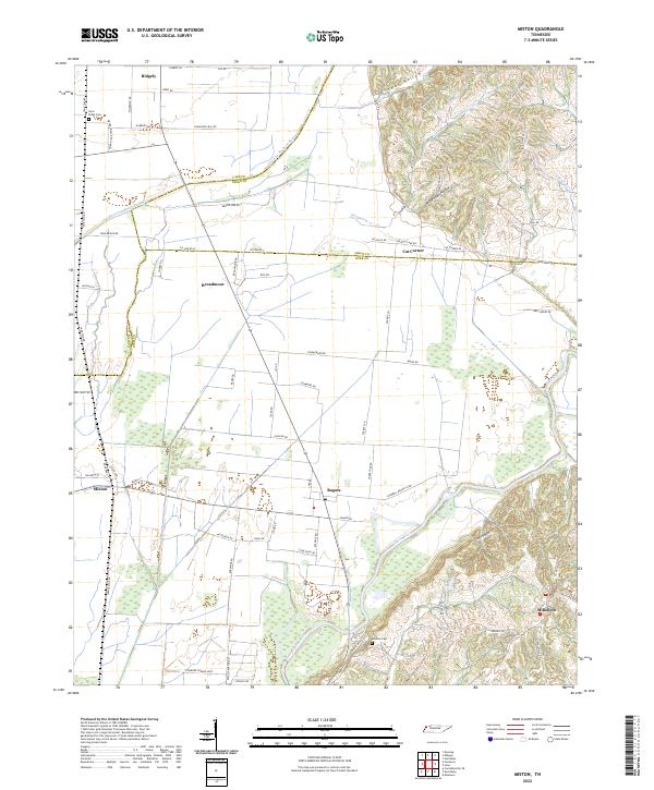
Obion River and Running Reelfoot Bayou dominate the drainage patterns of this Tennessee landscape, where the flat alluvial plains of the Mississippi River basin meet the rising bluffs of the eastern terrace. The settlement of Bogota sits at a strategic junction near the river, while Miston lies further west, connected by historic thoroughfares like Spence Spur RD and Railroad St. This area reflects a long history of managing water and agriculture, evidenced by the numerous drainage canals and the proximity of established communities like Ridgely and Millsfield.
Find a feature on this map
52 named features on this map. Tap any name to fly to it.
Don’t see what you’re looking for? This feature index may not catch every label — zoom into the map to look around manually.
Map Details
Editions of this 2022 Miston Map
This is the sole edition of this map. No revisions or reprints were ever made.