2024 Map of Mize
USGS Topo · Published 2024About this map
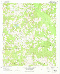
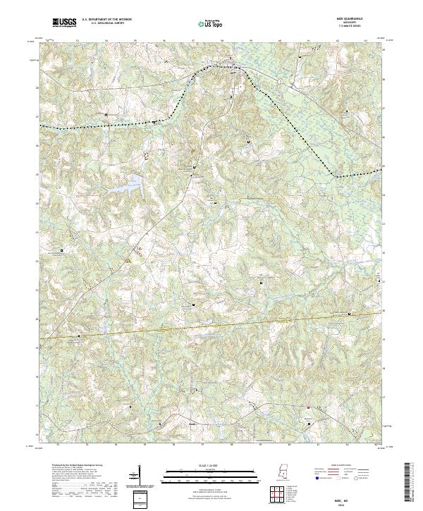
Mize serves as the primary hub in this portion of Smith County, situated near the intersection of several local routes like W Magnolia St and Oak St. The landscape is defined by the valley of Oakhay Creek and its various tributaries, including Sullivans Hollow Creek and Bunker Hill-Mill Creek. This area, famously known as Sullivans Hollow, contains numerous family-named landmarks such as the Alex Sullivan Cemetery and Thomas F. Sullivan Cemetery, which are central to the local genealogical record.
Find a feature on this map
76 named features on this map. Tap any name to fly to it.
Don’t see what you’re looking for? This feature index may not catch every label — zoom into the map to look around manually.
Map Details
Editions of this 2024 Mize Map
This is the sole edition of this map. No revisions or reprints were ever made.