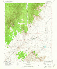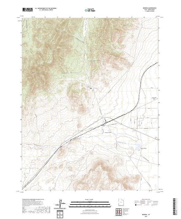
2023 Map of Modena
USGS Topo · Published 2023About this map
The high desert community of Modena sits as a critical waypoint where the Escalante Desert meets the rising slopes of the Needle Mountains. This modern survey illustrates the rugged intersection of several landforms, including the Indian Peak Range and the Paradise Mountains to the northwest. The landscape is defined by its drainage patterns, with Gold Springs Wash, Hogans Wash, and Modena Draw carving paths through the arid terrain. Local history is anchored by the Modena Cem and the residential layout of Modena Main St and W Center St. Significant water management features, such as Modena Reservoir E and Desert Spring, highlight the necessity of water resources in this part of Iron County. The map also traces established transit corridors like Hamblin Valley Rd and Old Modena Rd, which connect this remote outpost to the broader basin.
Find a feature on this map
23 named features on this map. Tap any name to fly to it.
Don’t see what you’re looking for? This feature index may not catch every label — zoom into the map to look around manually.
Map Details
Editions of this 2023 Modena Map
This is the sole edition of this map. No revisions or reprints were ever made.