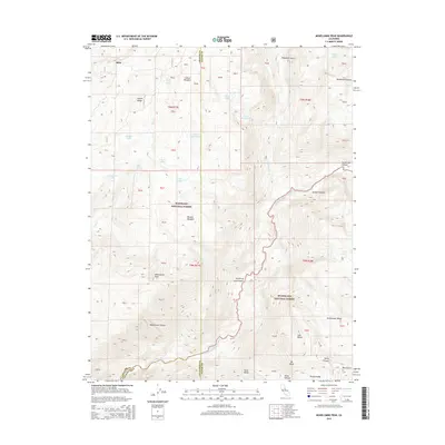
2015 Map of Mokelumne Peak
USGS Topo · Published 2015About this map
Mokelumne Peak dominates the high-altitude landscape of this 2015 survey, situated at a major convergence of the Eldorado National Forest and Stanislaus National Forest. The map documents a complex alpine drainage system where the N Fork Mokelumne River and S Fork Mokelumne River carve through the Sierra Nevada, meeting near the tri-county boundary of Amador, Alpine, and Calaveras. High-elevation meadows such as Ladeux Meadow and Munson Meadow are interspersed among granite features like the Mokelumne Tetons and Mt Reba. Water is a defining element throughout the quadrangle, which captures numerous alpine basins including Pardoe Lake, Mosquito Lake, and Grouse Lake. The presence of Horse Thief Spring and several named gulches like Telephone Gulch suggests a history of trail use and early resource management in this protected wilderness area.
Find a feature on this map
42 named features on this map. Tap any name to fly to it.
Don’t see what you’re looking for? This feature index may not catch every label — zoom into the map to look around manually.
Map Details
Editions of this 2015 Mokelumne Peak Map
This is the sole edition of this map. No revisions or reprints were ever made.
Other maps of this area
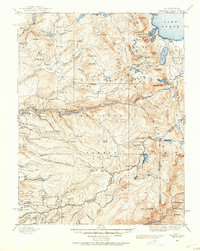
1889 · Pyramid Peak
USGS Topo · 1:125,000
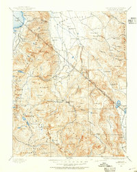
1889 · Markleeville
USGS Topo · 1:125,000
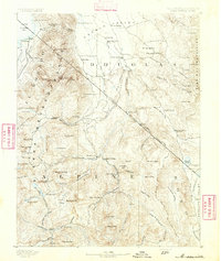
1891 · Markleeville
USGS Topo · 1:125,000
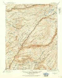
1891 · Big Trees
USGS Topo · 1:125,000
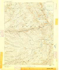
1891 · Pyramid Peak
USGS Topo · 1:125,000
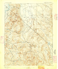
1893 · Markleeville
USGS Topo · 1:125,000
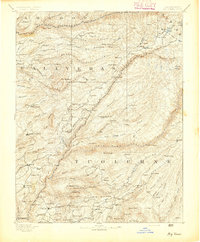
1894 · Big Trees
USGS Topo · 1:125,000
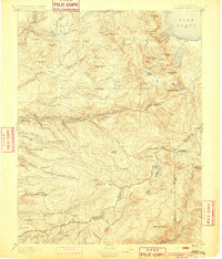
1895 · Pyramid Peak
USGS Topo · 1:125,000
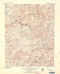
1896 · Dardanelles
USGS Topo · 1:125,000
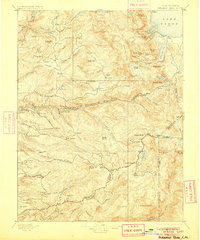
1896 · Pyramid Peak
USGS Topo · 1:125,000