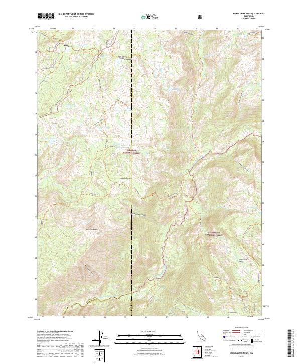
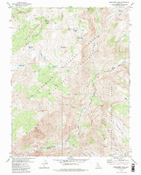
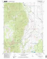
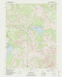
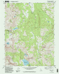
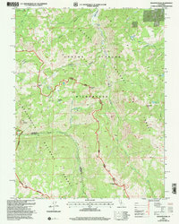
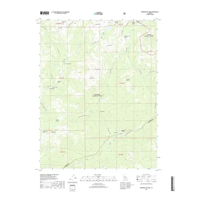
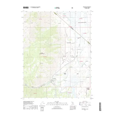
2021 Map of Mokelumne Peak
USGS Topo · Published 2021About this map
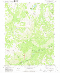
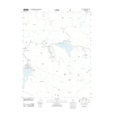
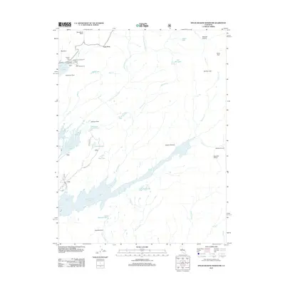
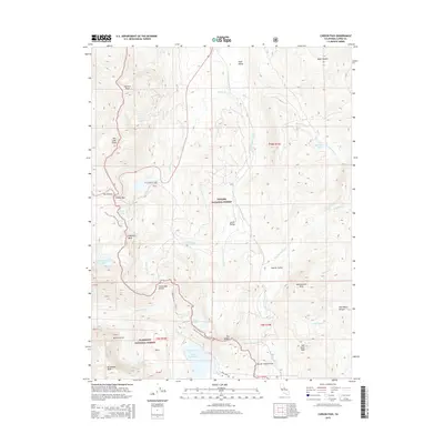
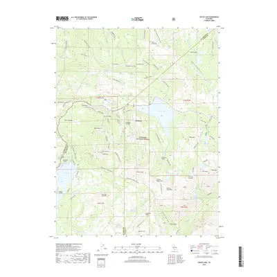
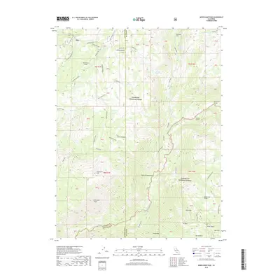
Mokelumne Peak dominates this high-altitude landscape within the Eldorado National Forest and Stanislaus National Forest. The map documents a rugged interior where the N Fork Mokelumne River carves through deep terrain, flanked by significant landmarks like Mt Reba and the vast Lake Valley. The presence of historic routes like the Carson Emigrant N.R.T. Trl and various 4WD paths such as the Pardoe 4wd Trl illustrates the region's long-standing use as a transit corridor through the Sierra Nevada.
Find a feature on this map
57 named features on this map. Tap any name to fly to it.
Don’t see what you’re looking for? This feature index may not catch every label — zoom into the map to look around manually.
Map Details
Editions of this 2021 Mokelumne Peak Map
This is the sole edition of this map. No revisions or reprints were ever made.
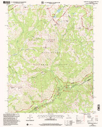
Historical Maps of Allen Through Time
63 maps found
1956 Freel Peak
Alpine County, CA
1979 Caples Lake
Alpine County, CA
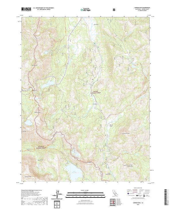
1979 Carson Pass
Alpine County, CA
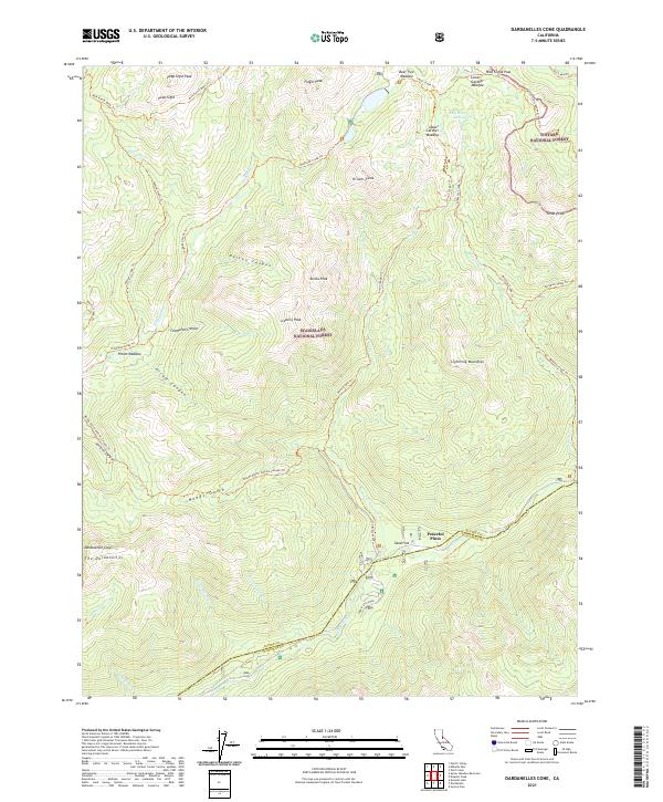
1979 Dardanelles Cone
Alpine County, CA
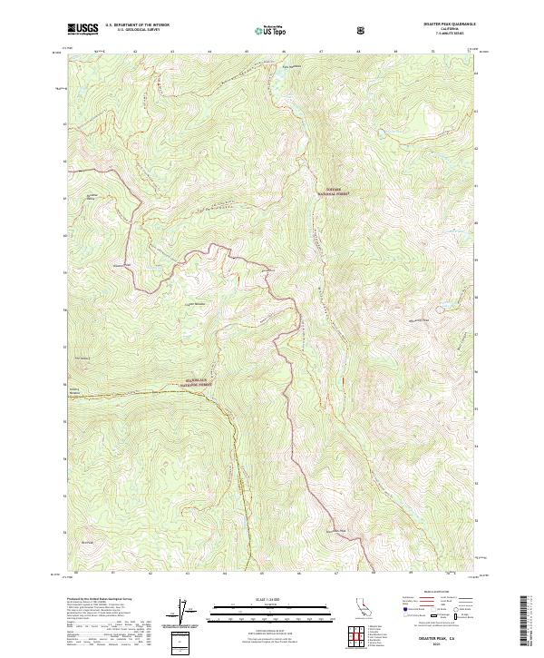
1979 Disaster Peak
Alpine County, CA
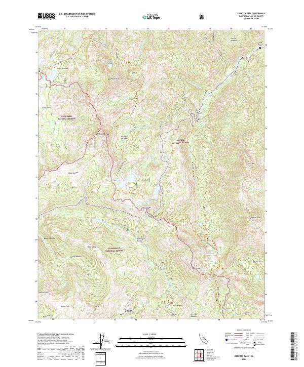
1979 Ebbetts Pass
Alpine County, CA
1979 Heenan Lake
Alpine County, CA
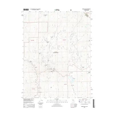
1979 Mokelumne Peak
Alpine County, CA
1979 Pacific Valley
Alpine County, CA
1979 Spicer Meadow Res
Alpine County, CA
1979 Wolf Creek
Alpine County, CA
1979 Woodfords
Alpine County, CA
1992 Caples Lake
Alpine County, CA
1992 Carson Pass
Alpine County, CA
2001 Dardanelles Cone
Alpine County, CA
2001 Disaster Peak
Alpine County, CA
2001 Ebbetts Pass
Alpine County, CA
2001 Pacific Valley
Alpine County, CA
2001 Spicer Meadow Reservoir
Alpine County, CA
2012 Caples Lake
Alpine County, CA
2012 Carson Pass
Alpine County, CA
2012 Dardanelles Cone
Alpine County, CA
2012 Disaster Peak
Alpine County, CA
2012 Ebbetts Pass
Alpine County, CA
2012 Heenan Lake
Alpine County, CA
2012 Mokelumne Peak
Alpine County, CA
2012 Pacific Valley
Alpine County, CA
2012 Spicer Meadow Reservoir
Alpine County, CA
2012 Wolf Creek
Alpine County, CA
2012 Woodfords
Alpine County, CA
2015 Caples Lake
Alpine County, CA
2015 Carson Pass
Alpine County, CA
2015 Dardanelles Cone
Alpine County, CA
2015 Disaster Peak
Alpine County, CA
2015 Ebbetts Pass
Alpine County, CA
2015 Heenan Lake
Alpine County, CA
2015 Mokelumne Peak
Alpine County, CA
2015 Pacific Valley
Alpine County, CA
2015 Spicer Meadow Reservoir
Alpine County, CA
2015 Wolf Creek
Alpine County, CA
2015 Woodfords
Alpine County, CA
2018 Caples Lake
Alpine County, CA
2018 Carson Pass
Alpine County, CA
2018 Dardanelles Cone
Alpine County, CA
2018 Disaster Peak
Alpine County, CA
2018 Ebbetts Pass
Alpine County, CA
2018 Heenan Lake
Alpine County, CA
2018 Mokelumne Peak
Alpine County, CA
2018 Pacific Valley
Alpine County, CA
2018 Spicer Meadow Reservoir
Alpine County, CA
2018 Wolf Creek
Alpine County, CA
2018 Woodfords
Alpine County, CA
2021 Carson Pass
Alpine County, CA
2021 Dardanelles Cone
Alpine County, CA
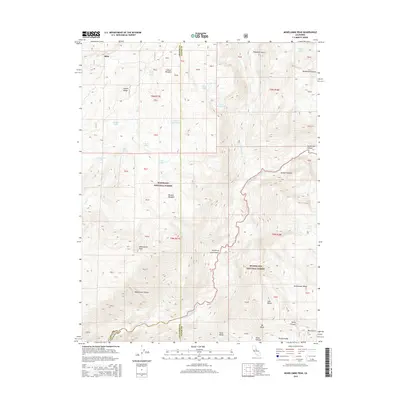
2021 Disaster Peak
Alpine County, CA
2021 Ebbetts Pass
Alpine County, CA
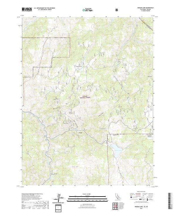
2021 Heenan Lake
Alpine County, CA
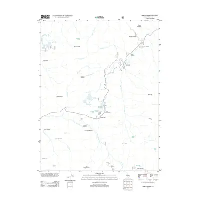
2021 Mokelumne Peak
Alpine County, CA
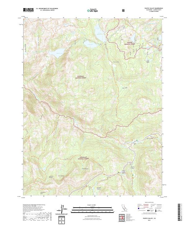
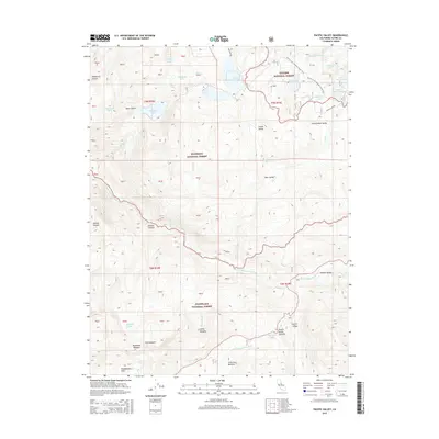
2021 Pacific Valley
Alpine County, CA
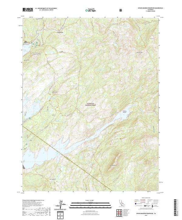
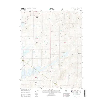
2021 Spicer Meadow Reservoir
Alpine County, CA
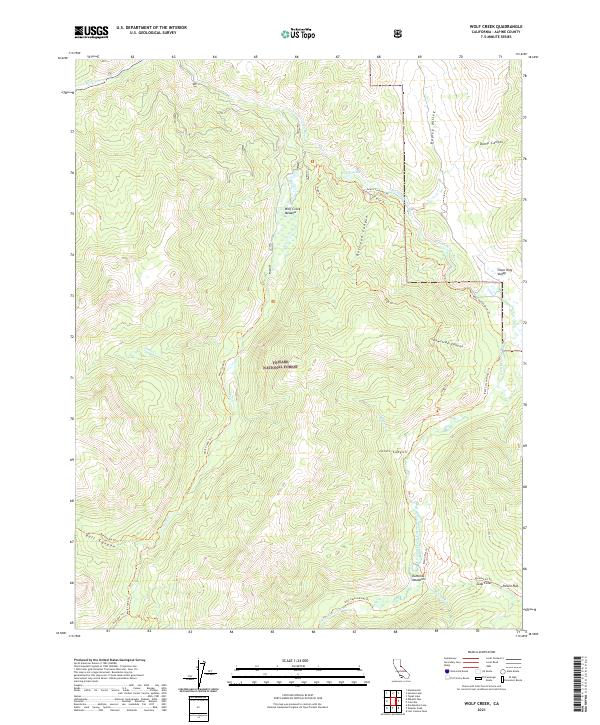
2021 Wolf Creek
Alpine County, CA
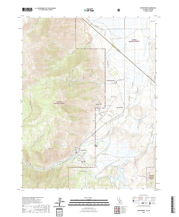
2021 Woodfords
Alpine County, CA

2022 Caples Lake
Alpine County, CA