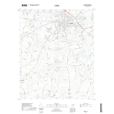
2019 Map of Monroe
USGS Topo · Published 2019About this map
Monroe serves as the regional hub for this part of Union County, characterized by a dense grid of residential streets and arterial roads like W Roosevelt Blvd and Morgan Mill Rd. The landscape beyond the city center is defined by the winding course of Richardson Creek and its many tributaries, including Bearskin Creek and Adams Br. This 2019 survey documents a transition from the urban core of Monroe to the more dispersed communities of Alton and Roughedge. Genealogists will find a wealth of burial sites across the countryside, from larger municipal locations like Hillcrest Cem to remote rural grounds such as Belmont Church Cem, Macedonia Church Cem, and the Alton Presbyterian Church Cem. The map illustrates how historical church sites like New Hope Cem and Turner Church Cem remain as landmarks within a network of farm-to-market roads.
Find a feature on this map
226 named features on this map. Tap any name to fly to it.
Don’t see what you’re looking for? This feature index may not catch every label — zoom into the map to look around manually.
Map Details
Editions of this 2019 Monroe Map
This is the sole edition of this map. No revisions or reprints were ever made.
Other maps of this area

1941 · Charlotte
USGS Topo · 1:125,000

1941 · Spartanburg
USGS Topo · 1:250,000

1942 · Charlotte
USGS Topo · 1:125,000

1953 · Spartanburg
USGS Topo · 1:250,000

1953 · Charlotte
USGS Topo · 1:250,000

1954 · Charlotte
USGS Topo · 1:250,000

1960 · Charlotte
USGS Topo · 1:250,000

1960 · Spartanburg
USGS Topo · 1:250,000

1962 · Charlotte
USGS Topo · 1:250,000

1963 · Spartanburg
USGS Topo · 1:250,000