2022 Map of Monroe
USGS Topo · Published 2022About this map
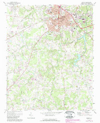
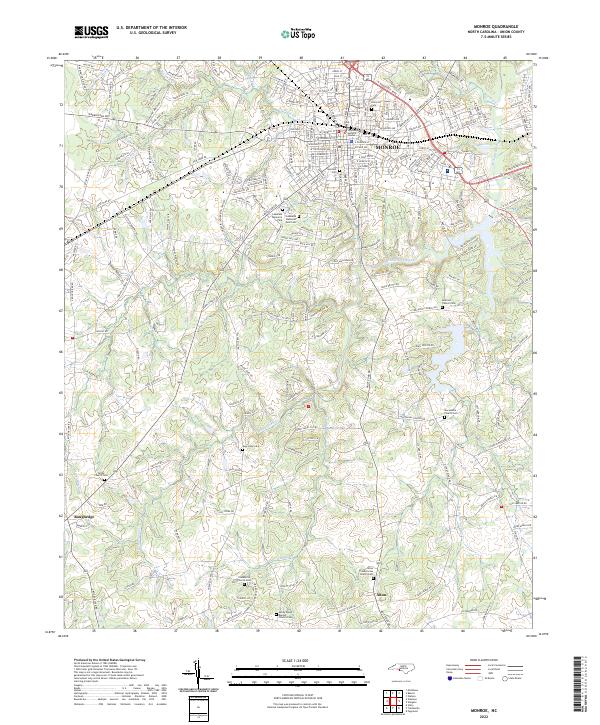
The Monroe city center and the rolling landscape of southern Union County are detailed in this 2022 survey, showcasing a community defined by its civic institutions and rural lineages. Central landmarks include the Union County Judicial Center and several established neighborhoods marked by Hillcrest Cem and Suncrest Cem. The suburban expansion transitions into a dense network of family-named roads such as Tom Williams Rd and Parks Medlin Rd, reflecting the long-standing agricultural roots of the surrounding area.
Find a feature on this map
110 named features on this map. Tap any name to fly to it.
Don’t see what you’re looking for? This feature index may not catch every label — zoom into the map to look around manually.
Map Details
Editions of this 2022 Monroe Map
This is the sole edition of this map. No revisions or reprints were ever made.