Loading...
Loading map...2022 Map of Montague
USGS Topo · Published 2022About this map
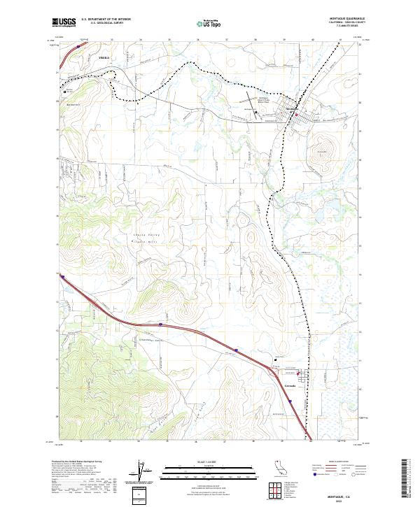
Yreka and Montague anchor this portion of the Shasta Valley, where the high desert terrain of Siskiyou County meets a complex network of seasonal creeks and sloughs. The landscape is defined by volcanic features and drainage patterns, including the Shasta River and the winding Julien Cr. The placement of Butcher Hill and the Kilgore Hills creates a natural corridor that has historically dictated the path of regional transport and settlement.
Find a feature on this map
102 named features on this map. Tap any name to fly to it.
Don’t see what you’re looking for? This feature index may not catch every label — zoom into the map to look around manually.
Map Details
Date Portrayed2022
Date Published2022
PublisherU.S. Geological Survey
Map TypeTopographic
Scale1:24000
Physical Dimensions24 x 29 inches
Editions of this 2022 Montague Map
This is the sole edition of this map. No revisions or reprints were ever made.
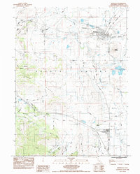
Historical Maps of Yreka Through Time
Featured Locations
Source Details
SourceU.S. Geological Survey
CopyrightPublic Domain