Loading...
Loading map...2021 Map of Montello
USGS Topo · Published 2021About this map
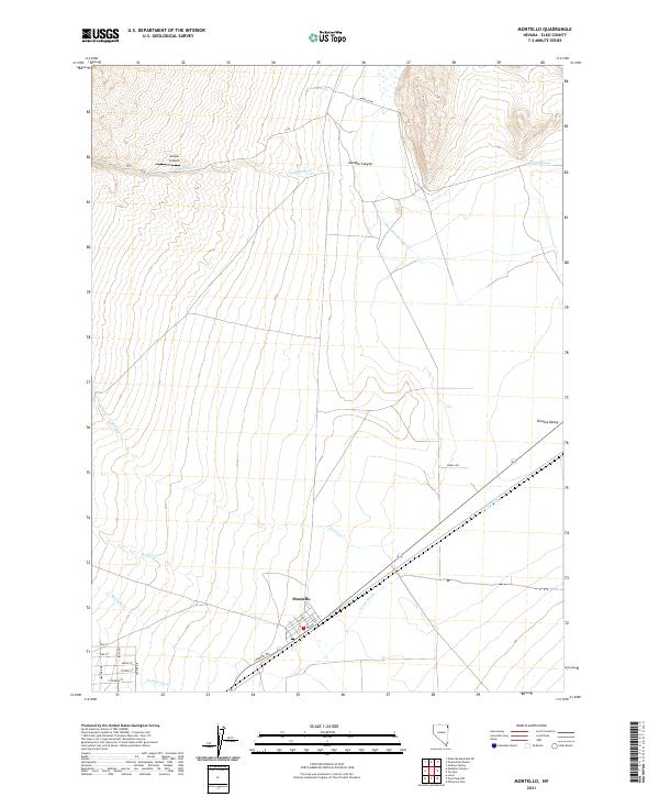
Montello stands as a focal point of settlement in this part of Elko County, where the grid of streets like Pine St and Front St meets the rail-aligned topography of the Tecoma Valley. The landscape is defined by its drainage systems, with Thousand Springs Cr and Charley Cr descending from the higher elevations of Gamble Canyon. These watercourses, along with Hoppie Cr and Montello Cr, dictate the movement of roads and historical travel routes through the area.
Find a feature on this map
31 named features on this map. Tap any name to fly to it.
Don’t see what you’re looking for? This feature index may not catch every label — zoom into the map to look around manually.
Map Details
Date Portrayed2021
Date Published2021
PublisherU.S. Geological Survey
Map TypeTopographic
Scale1:24000
Physical Dimensions24 x 29 inches
Editions of this 2021 Montello Map
This is the sole edition of this map. No revisions or reprints were ever made.
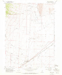
Historical Maps of Montello Through Time
Featured Locations
Source Details
SourceU.S. Geological Survey
CopyrightPublic Domain