Loading...
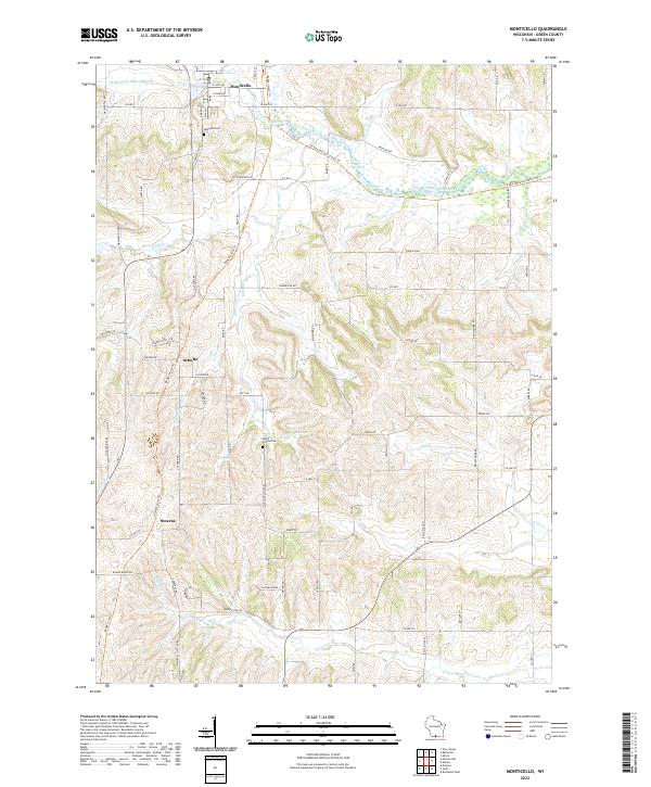
Loading map...2022 Map of Monticello
USGS Topo · Published 2022About this map
Monticello anchors the northern reaches of this Green County landscape, where the W Br Little Sugar River and Little Sugar River converge. The village plan is detailed with streets like S Main St and E Park Ave, while Highland Cem lies just to the west. The terrain is defined by the winding paths of numerous named waterways including Hammerly Cr, Searles Cr, and Burgy Cr, which carve through the agricultural uplands toward the valley floor.
Find a feature on this map
73 named features on this map. Tap any name to fly to it.
Don’t see what you’re looking for? This feature index may not catch every label — zoom into the map to look around manually.
Map Details
Date Portrayed2022
Date Published2022
PublisherU.S. Geological Survey
Map TypeTopographic
Scale1:24000
Physical Dimensions24 x 29 inches
Editions of this 2022 Monticello Map
This is the sole edition of this map. No revisions or reprints were ever made.
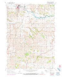
Historical Maps of Monticello Through Time
Featured Locations
Source Details
SourceU.S. Geological Survey
CopyrightPublic Domain