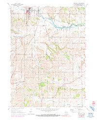
1962 Map of Monticello
USGS Topo · Published 1990About this map
Monticello serves as the central hub of this Green County landscape, where the Chicago Milwaukee St Paul and Pacific and Illinois Central railroads intersect. This convergence of rail lines shaped the development of the village and nearby rural stations like Schultz and Stearns. The topography is defined by the winding course of the Little Sugar River and its numerous tributaries, including Hammerly Creek and Burgy Creek, which carve through the townships of Mount Pleasant and Washington.
Find a feature on this map
28 named features on this map. Tap any name to fly to it.
Don’t see what you’re looking for? This feature index may not catch every label — zoom into the map to look around manually.
Map Details
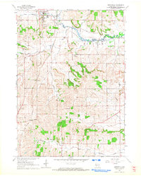
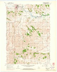
Editions of this 1962 Monticello Map
3 editions found
Other maps of this area

1889 · Evansville
USGS Topo · 1:62,500

1893 · Brodhead
USGS Topo · 1:62,500

1894 · Evansville
USGS Topo · 1:62,500

1906 · Evansville
USGS Topo · 1:62,500

1920 · Monroe
USGS Topo · 1:62,500

1922 · Monroe
USGS Topo · 1:62,500

1923 · New Glarus
USGS Topo · 1:62,500

1954 · Rockford
USGS Topo · 1:250,000

1955 · Rockford
USGS Topo · 1:250,000

1958 · Rockford
USGS Topo · 1:250,000