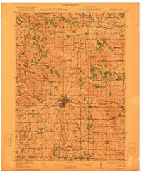
1920 Map of Monroe
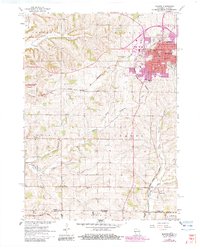
USGS Topo · Published 1960About this map
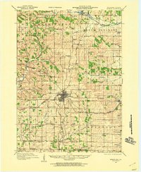
Monroe serves as the central hub of this Green County landscape, where the Illinois Central and Chicago Milwaukee and St Paul railroads intersect to drive the local agricultural economy. The survey reveals an exceptionally dense network of rural one-room schoolhouses, illustrating the decentralized educational system of the early twentieth century. Named landmarks such as Dry Goods Box School, Hardscrabble School, and Buckskin School are scattered across the townships of Sylvester and Mount Pleasant.
Find a feature on this map
79 named features on this map. Tap any name to fly to it.
Don’t see what you’re looking for? This feature index may not catch every label — zoom into the map to look around manually.
Map Details
Editions of this 1920 Monroe Map
This is the sole edition of this map. No revisions or reprints were ever made.
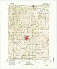
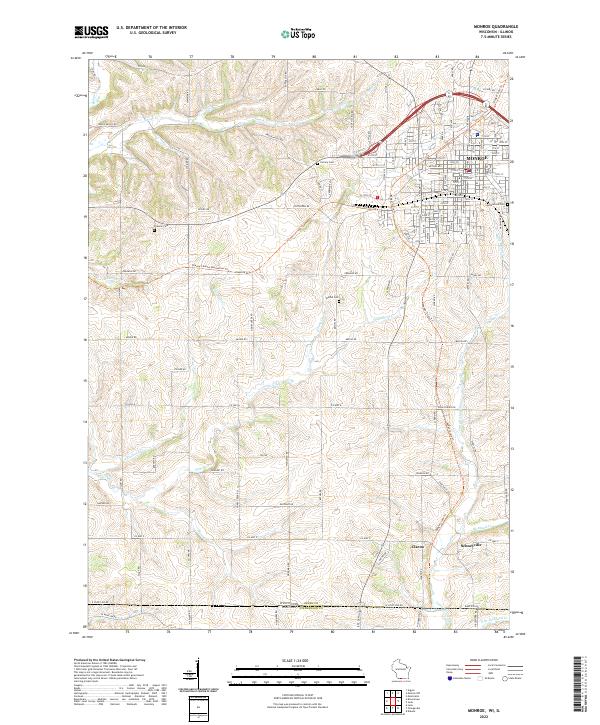
Historical Maps of Monroe Through Time
6 maps found