
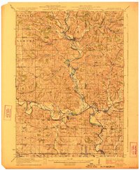
1923 Map of South Wayne
USGS Topo · Published 1923About this map
Pecatonica River drainage systems define the landscape of this 1920s borderland survey, where the rolling hills of southern Wisconsin meet the Illinois state line. The map captures a highly developed network of rural social centers, marked by an exceptional density of country schoolhouses such as Wayne Center School, Cherry Branch School, and Paddledock School. These small school districts, often named for local families or geography, suggest a peak in the area's rural population before the consolidation of the mid-20th century.
Find a feature on this map
79 named features on this map. Tap any name to fly to it.
Don’t see what you’re looking for? This feature index may not catch every label — zoom into the map to look around manually.
Map Details
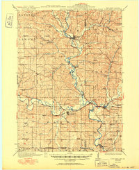
Editions of this 1923 South Wayne Map
3 editions found
Other maps of this area

1902 · Mineral Point
USGS Topo · 1:125,000

1911 · Elizabeth
USGS Topo · 1:62,500

1920 · Monroe
USGS Topo · 1:62,500

1922 · Monroe
USGS Topo · 1:62,500

1923 · Blanchardville
USGS Topo · 1:62,500

1923 · New Glarus
USGS Topo · 1:62,500

1936 · Elizabeth
USGS Topo · 1:62,500

1937 · Lena
USGS Topo · 1:48,000

1939 · Freeport
USGS Topo · 1:48,000

1942 · Lena
USGS Topo · 1:62,500