
1902 Map of Mineral Point
USGS Topo · Published 1902About this map
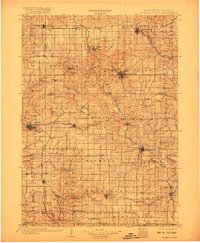
Mineral Point stands at the center of this 1902 survey, anchoring a region defined by its complex geology and early industrial expansion across the driftless area of Southwest Wisconsin and Northern Illinois. The landscape is carved by the Pecatonica River and its numerous tributaries, including Bonner Branch and Ames Branch, which provided the necessary drainage and power for early lead and zinc mining operations. This map documents a dense network of nineteenth-century infrastructure, where the Chicago and Northwestern and the Chicago Milwaukee and St Paul railroads intersect to serve established mining and agricultural hubs.
Find a feature on this map
93 named features on this map. Tap any name to fly to it.
Don’t see what you’re looking for? This feature index may not catch every label — zoom into the map to look around manually.
Map Details
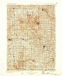
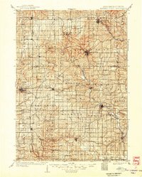
Editions of this 1902 Mineral Point Map
4 editions found
Other maps of this area

1900 · Lancaster
USGS Topo · 1:125,000

1901 · Peosta
USGS Topo · 1:125,000

1904 · Lancaster
USGS Topo · 1:125,000

1905 · Richland Center
USGS Topo · 1:125,000

1908 · Lancaster
USGS Topo · 1:125,000

1911 · Elizabeth
USGS Topo · 1:62,500

1911 · Galena
USGS Topo · 1:62,500

1913 · Galena
USGS Topo · 1:62,500

1920 · Blue Mounds
USGS Topo · 1:62,500

1922 · Blue Mounds
USGS Topo · 1:62,500