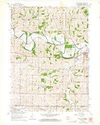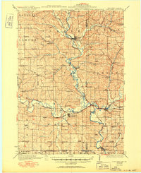
1923 Map of South Wayne
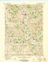
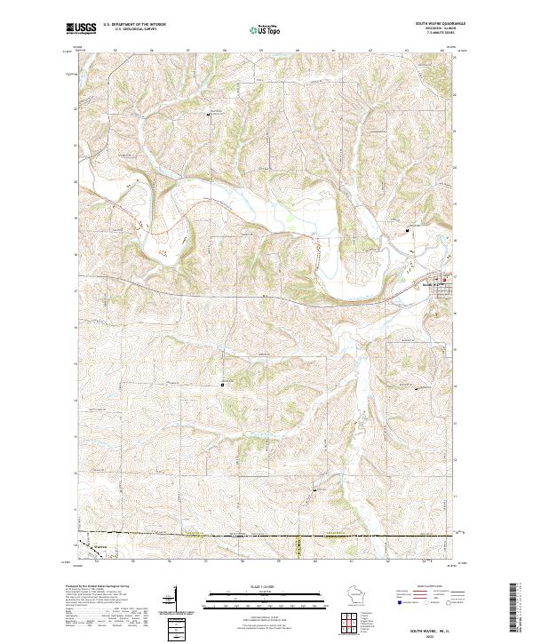
USGS Topo · Published 1950About this map
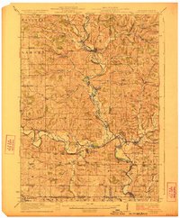
The Pecatonica River meanders across the southern Wisconsin landscape in the 1920s, defining a region of undulating farmland and dense rural infrastructure. This survey, conducted just after the First World War, captures a meticulous network of country schools that served isolated farmsteads, including Mud Branch School, Cherry Branch School, and Cadiz Center School. The transportation network is anchored by the Chicago Milwaukee and St Paul and Illinois Central railroads, which facilitated the movement of goods from settlements like South Wayne and Browntown.
Find a feature on this map
82 named features on this map. Tap any name to fly to it.
Don’t see what you’re looking for? This feature index may not catch every label — zoom into the map to look around manually.
Map Details
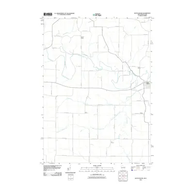
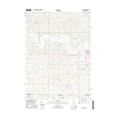
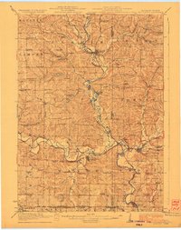
Editions of this 1923 South Wayne Map
3 editions found
Historical Maps of Warren Through Time
8 maps found