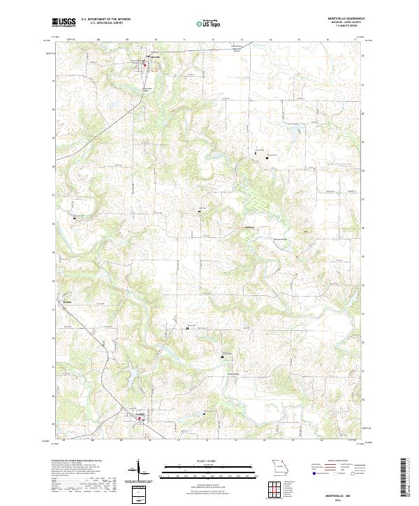
2021 Map of Monticello
USGS Topo · Published 2021About this map
The Lewis County Courthouse anchors this portion of Lewis County, situated at the bend of the North Fabius River in the seat of Monticello. This 2021 survey illustrates a predominantly agricultural landscape defined by the parallel courses of the North and Middle Fabius River, with rural settlements like Sellers, Tolona, and Ewing connected by a network of state highways and county roads. Local history is deeply etched into the topography through numerous family and community burial sites, including Finley Cem, Garnett Cem, and the Briscoe Cem. River crossings remain vital to the local geography, with the Monticello Bridge, Weston Bridge, and Steele Bridge marking traditional transit points across the often-winding waterways. Small reservoirs such as Lloyd Wilson Lake and springs like Cool Springs punctuate the drainage basins of Otter Br and Durgens Cr.
Find a feature on this map
79 named features on this map. Tap any name to fly to it.
Don’t see what you’re looking for? This feature index may not catch every label — zoom into the map to look around manually.
Map Details
Editions of this 2021 Monticello Map
This is the sole edition of this map. No revisions or reprints were ever made.
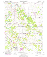
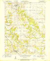
Historical Maps of Tolona Through Time
3 maps found