
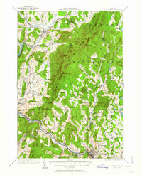
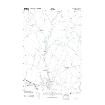
1988 Map of Montpelier
USGS Topo · Published 1989About this map
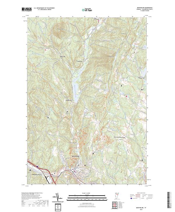
The Winooski River and Dog River converge at Montpelier, the state capital, serving as a primary hub in this late 20th-century landscape. The map illustrates a region defined by the high peaks of the Green Mountains, including Mount Mansfield and Camels Hump, which are surrounded by extensive public lands like the Mount Mansfield State Forest. The transportation network is dominated by the modern path of Interstate 89, yet the older industrial foundations remain visible through the tracks of the Central Vermont RR and the Montpelier & Barre RR.
Find a feature on this map
116 named features on this map. Tap any name to fly to it.
Don’t see what you’re looking for? This feature index may not catch every label — zoom into the map to look around manually.
Map Details
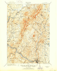
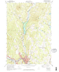
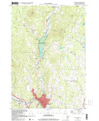
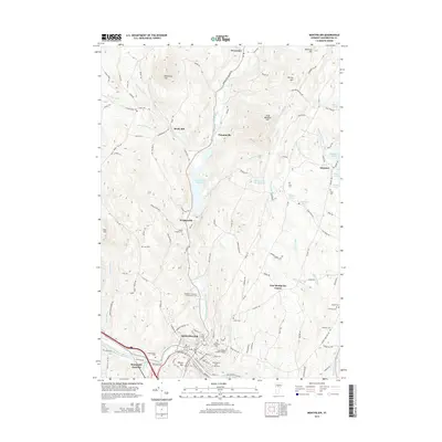
Editions of this 1988 Montpelier Map
2 editions found

Historical Maps of Barre Through Time
11 maps found
1919 Montpelier
Washington County, VT
1921 Montpelier
Washington County, VT

1944 Montpelier
Washington County, VT
1968 Montpelier
Washington County, VT
1988 Montpelier
Washington County, VT
1999 Montpelier
Washington County, VT
2012 Montpelier
Washington County, VT
2015 Montpelier
Washington County, VT
2018 Montpelier
Washington County, VT
2021 Montpelier
Washington County, VT
2024 Montpelier
Washington County, VT