2023 Map of Montrose
USGS Topo · Published 2023About this map
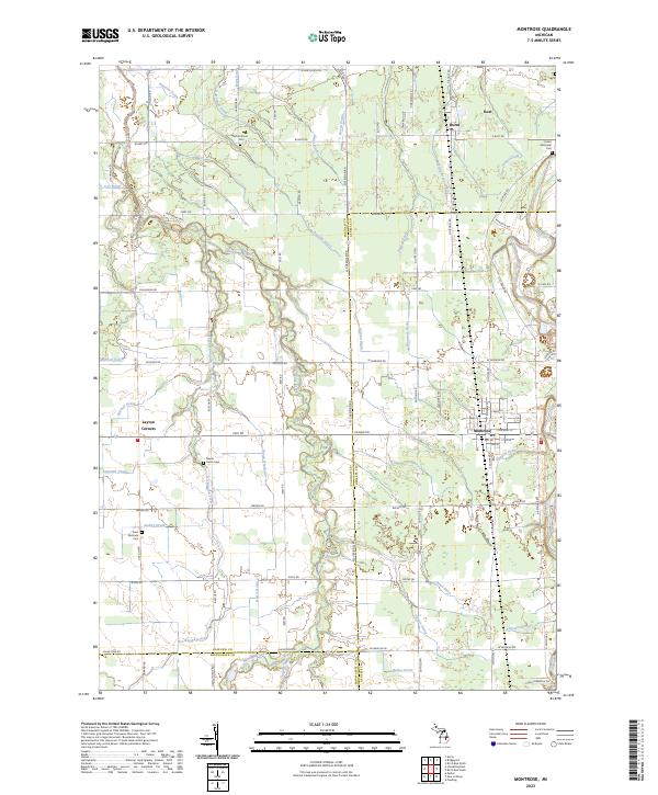
Montrose and the surrounding agricultural lands of Genesee and Saginaw counties are defined by a complex network of named drains and creeks, including Misteguay Creek and Northwood Creek. This 2023 survey provides a detailed view of the rural landscape where the Flint River bends through the northeast, accompanied by the Flint River Water Trail. The map is particularly useful for genealogists, as it preserves the exact locations of several local burial grounds such as Cooks Episcopal Cem, Saint Michaels Cem, and Maple Grove Cem. Smaller settlements like Layton Corners and Burt anchor the crossroads of this farming region, which is meticulously divided by township lines and an extensive drainage system featuring the Killpatrick Drain and Denslow Drain.
Find a feature on this map
94 named features on this map. Tap any name to fly to it.
Don’t see what you’re looking for? This feature index may not catch every label — zoom into the map to look around manually.
Map Details
Editions of this 2023 Montrose Map
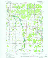
This is the sole edition of this map. No revisions or reprints were ever made.
Historical Maps of Montrose Charter Township Through Time
Featured Locations
- Albee Township, MI
- Montrose, MI
- Montrose Charter Township, MI
- Hazelton Township, MI
- Burt, Taymouth Township