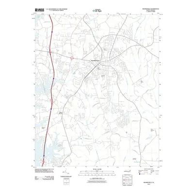
2010 Map of Mooresville
USGS Topo · Published 2010About this map
Mooresville serves as the central hub of this Iredell County landscape, showing the town's modern infrastructure and expansion at the end of the 2000s. The map details a dense network of residential developments and commercial corridors, particularly between the town center and the shoreline of Lake Norman to the west. Local history is anchored by sites like Willow Valley Cemetery and Green Acres Cemetery, while the surrounding geography is defined by a dendritic drainage system including Rocky River, Back Creek, and Dye Creek. South of the main settlement, the community of Mount Mourne sits near the headwaters of Work Creek. Aviation and industry are represented by Harris Airport and Branson Airport, illustrating how the region's connectivity evolved beyond its traditional agricultural roots.
Find a feature on this map
53 named features on this map. Tap any name to fly to it.
Don’t see what you’re looking for? This feature index may not catch every label — zoom into the map to look around manually.
Map Details
Editions of this 2010 Mooresville Map
This is the sole edition of this map. No revisions or reprints were ever made.
Other maps of this area

1893 · Statesville
USGS Topo · 1:125,000

1941 · Charlotte
USGS Topo · 1:125,000

1942 · Charlotte
USGS Topo · 1:125,000

1949 · Kannapolis
USGS Topo · 1:24,000

1949 · Hicks Crossroads
USGS Topo · 1:24,000

1953 · Charlotte
USGS Topo · 1:250,000

1954 · Charlotte
USGS Topo · 1:250,000

1960 · Charlotte
USGS Topo · 1:250,000

1962 · Charlotte
USGS Topo · 1:250,000

1969 · Shepherds
USGS Topo · 1:24,000