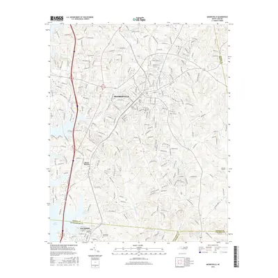
2016 Map of Mooresville
USGS Topo · Published 2016About this map
The town of Mooresville serves as the focal point of this North Carolina survey, situated at a major convergence of regional boundaries where Iredell, Rowan, Mecklenburg, and Cabarrus counties meet. The landscape is defined by the transition from the rolling Piedmont hills to the edge of Lake Norman, which enters the map from the southwest. Local genealogy is well-supported by numerous burial sites, including the Willow Valley Cem and Green Acres Cem, along with the Christian Aid Society Cem near the southern boundary.
Find a feature on this map
237 named features on this map. Tap any name to fly to it.
Don’t see what you’re looking for? This feature index may not catch every label — zoom into the map to look around manually.
Map Details
Editions of this 2016 Mooresville Map
This is the sole edition of this map. No revisions or reprints were ever made.
Other maps of this area

1893 · Statesville
USGS Topo · 1:125,000

1941 · Charlotte
USGS Topo · 1:125,000

1942 · Charlotte
USGS Topo · 1:125,000

1949 · Kannapolis
USGS Topo · 1:24,000

1949 · Hicks Crossroads
USGS Topo · 1:24,000

1953 · Charlotte
USGS Topo · 1:250,000

1954 · Charlotte
USGS Topo · 1:250,000

1960 · Charlotte
USGS Topo · 1:250,000

1962 · Charlotte
USGS Topo · 1:250,000

1969 · Shepherds
USGS Topo · 1:24,000