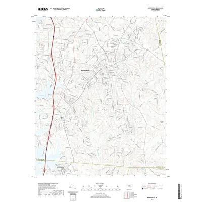
2019 Map of Mooresville
USGS Topo · Published 2019About this map
Mooresville and its surrounding Piedmont landscape are defined here by a dense network of suburban development and historical transportation corridors. The Norfolk Southern rail line bisects the area, running through the heart of the settlement towards Davidson, where the Davidson Coll campus is situated. To the west, the expansive waters of Lake Norman influence the local topography and street patterns. This survey reveals a community in transition, where traditional landmarks like the Christian Aid Society Cem and Willow Valley Cem sit alongside more modern infrastructure such as the Johnston Airport. The drainage of the Rocky River and its various tributaries, including the W Br Rocky River and Back Cr, continues to shape the rolling landscape between these growing town centers.
Find a feature on this map
152 named features on this map. Tap any name to fly to it.
Don’t see what you’re looking for? This feature index may not catch every label — zoom into the map to look around manually.
Map Details
Editions of this 2019 Mooresville Map
This is the sole edition of this map. No revisions or reprints were ever made.
Other maps of this area

1893 · Statesville
USGS Topo · 1:125,000

1941 · Charlotte
USGS Topo · 1:125,000

1942 · Charlotte
USGS Topo · 1:125,000

1949 · Kannapolis
USGS Topo · 1:24,000

1949 · Hicks Crossroads
USGS Topo · 1:24,000

1953 · Charlotte
USGS Topo · 1:250,000

1954 · Charlotte
USGS Topo · 1:250,000

1960 · Charlotte
USGS Topo · 1:250,000

1962 · Charlotte
USGS Topo · 1:250,000

1969 · Shepherds
USGS Topo · 1:24,000