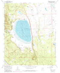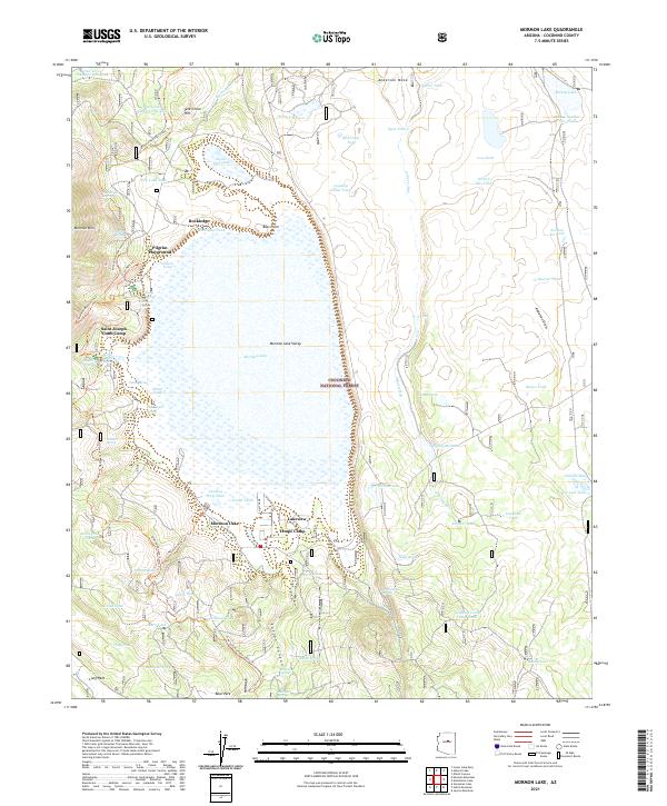
2021 Map of Mormon Lake
USGS Topo · Published 2021About this map
Mormon Lake and its surrounding valley floor are the defining features of this high-altitude landscape within the Coconino National Forest. The map captures a high-desert environment where water is the primary driver of development and geography, evidenced by a dense network of water management features like Ashurst Tank, Reed Lake Tank, and Hart Tank. Settlements and recreation areas are concentrated along the western shores and higher ground, including the communities of Lakeview and Rockledge, alongside institutional landmarks like Tempe Camp and the Saint Joseph Youth Camp. The transition from the massive Anderson Mesa to the east down into the Mormon Lake Valley is marked by steep elevation changes and drainage systems like Ashurst Run. Long-distance recreation is represented by the Arizona National Scenic Trl, which winds through the timbered slopes of Mormon Mtn and across the open parklands.
Find a feature on this map
86 named features on this map. Tap any name to fly to it.
Don’t see what you’re looking for? This feature index may not catch every label — zoom into the map to look around manually.
Map Details
Editions of this 2021 Mormon Lake Map
This is the sole edition of this map. No revisions or reprints were ever made.