Loading...
Loading map...2021 Map of Morrill
USGS Topo · Published 2021About this map
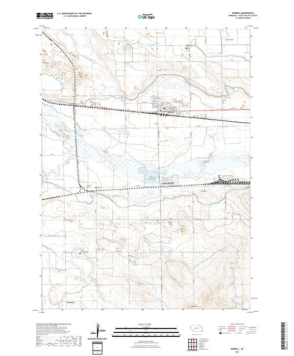
The town of Morrill serves as the hub of this Nebraska landscape, where the high plains transition into a complex irrigation network supporting the regional agriculture. North of the North Platte River, the terrain is defined by an extensive system of man-made waterways, including the Tri-State Canal, Ramshorn Canal, and Lateral Number 10. These features illustrate the engineering required to cultivate the Dutch Flats area and the surrounding valley.
Find a feature on this map
49 named features on this map. Tap any name to fly to it.
Don’t see what you’re looking for? This feature index may not catch every label — zoom into the map to look around manually.
Map Details
Date Portrayed2021
Date Published2021
PublisherU.S. Geological Survey
Map TypeTopographic
Scale1:24000
Physical Dimensions24 x 29 inches
Editions of this 2021 Morrill Map
This is the sole edition of this map. No revisions or reprints were ever made.
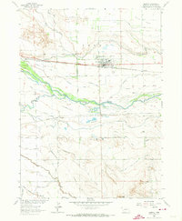
Historical Maps of Morrill Through Time
Featured Locations
Source Details
SourceU.S. Geological Survey
CopyrightPublic Domain