2022 Map of Mosinee
USGS Topo · Published 2022About this map
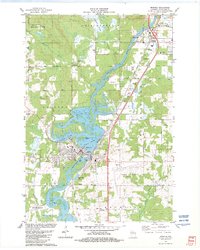
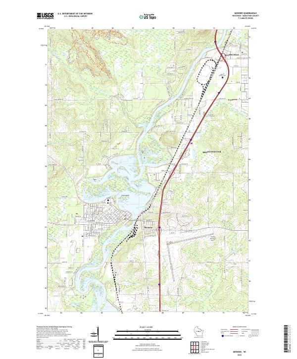
The Wisconsin River serves as the central artery for this portion of Marathon County, carving a path through Mosinee and past the distinctive Pine Island landform. The landscape is a complex mix of riverine wetlands and modern infrastructure, evidenced by the broad reach of Ninemile Swamp to the north and the expansive Central Wisconsin Airport to the east. Along the river's edge, specialized features like Cemetery Slough and the winding Bull Junior Creek illustrate the historical drainage patterns of the valley.
Find a feature on this map
78 named features on this map. Tap any name to fly to it.
Don’t see what you’re looking for? This feature index may not catch every label — zoom into the map to look around manually.
Map Details
Editions of this 2022 Mosinee Map
This is the sole edition of this map. No revisions or reprints were ever made.