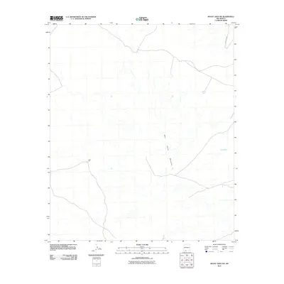
2010 Map of Mount Aden SW
USGS Topo · Published 2010About this map
The eastern foothills of the West Potrillo Mountains define this arid landscape in southern New Mexico. This region is characterized by intermittent drainage patterns and small-scale livestock infrastructure, such as the Sally Tank and Cow Tank water features located in the northern and eastern reaches of the quadrangle. A distinct mark of local industry is found at Junes Mill, which sits near a network of unimproved tracks. The map records the early 21st-century state of the high desert, where transportation is limited to a few arterial routes like County Rd B001 and various unnamed paths crossing the open basin.
Find a feature on this map
5 named features on this map. Tap any name to fly to it.
Don’t see what you’re looking for? This feature index may not catch every label — zoom into the map to look around manually.
Map Details
Editions of this 2010 Mount Aden SW Map
This is the sole edition of this map. No revisions or reprints were ever made.
Other maps of this area

1917 · Camel Mountain
USGS Topo · 1:62,500

1917 · Mt. Riley
USGS Topo · 1:62,500

1918 · Mt. Riley
USGS Topo · 1:62,500

1929 · Mt. Riley
USGS Topo · 1:62,500

1941 · Aden
USGS Topo · 1:62,500

1943 · Aden
USGS Topo · 1:62,500

1951 · Mt. Riley
USGS Topo · 1:62,500

1953 · El Paso
USGS Topo · 1:250,000

1955 · Las Cruces
USGS Topo · 1:250,000

1958 · Las Cruces
USGS Topo · 1:250,000