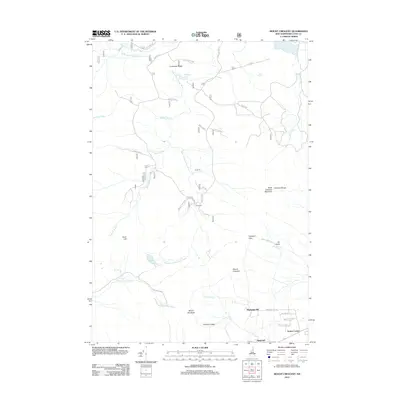
2012 Map of Mount Crescent
USGS Topo · Published 2012About this map
Mount Crescent and the surrounding peaks of the Crescent Range dominate this landscape just north of the Presidential Range. The terrain is defined by a dense network of forest roads and trails, including Bog Dam Rd and the Unclass Inventory 2251, which provide access to remote sites like Camp 18 and Camp 19 along the Upper Ammonoosuc River. In the southern portion of the map, the community of Randolph Hill sits near the base of the mountains, connected to Randolph by Randolph Hill Rd. This area is a significant destination for backcountry exploration, featuring the Pond of Safety, Ice Gulch, and Lookout Ledge. The map captures the specialized geography of the White Mountains, where named landmarks like Pebolamauk Fall and Hunters Pass reflect a long history of trail development and forest management.
Find a feature on this map
44 named features on this map. Tap any name to fly to it.
Don’t see what you’re looking for? This feature index may not catch every label — zoom into the map to look around manually.
Map Details
Editions of this 2012 Mount Crescent Map
This is the sole edition of this map. No revisions or reprints were ever made.
Other maps of this area

1893 · Mt. Washington
USGS Topo · 1:62,500

1893 · Gorham
USGS Topo · 1:62,500

1896 · Mt. Washington
USGS Topo · 1:62,500

1896 · Gorham
USGS Topo · 1:62,500

1930 · Milan
USGS Topo · 1:62,500

1930 · Percy
USGS Topo · 1:62,500

1933 · Milan
USGS Topo · 1:62,500

1934 · Percy
USGS Topo · 1:62,500

1934 · Milan
USGS Topo · 1:62,500

1935 · Mt. Washington
USGS Topo · 1:62,500