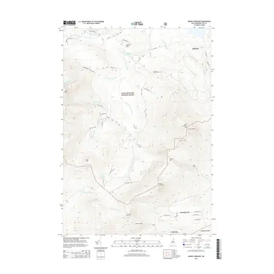
2015 Map of Mount Crescent
USGS Topo · Published 2015About this map
White Mountain National Forest dominates this topographic study, revealing a landscape defined by significant elevation changes and remote water bodies. The Pond of Safety and Godfrey Pond sit high among the peaks of the Crescent Range, feeding the headwaters of the Upper Ammonoosuc River and Brandy Brook. These drainage patterns demonstrate the importance of the high country in directing the region's water resources toward the populated valleys.
Find a feature on this map
49 named features on this map. Tap any name to fly to it.
Don’t see what you’re looking for? This feature index may not catch every label — zoom into the map to look around manually.
Map Details
Editions of this 2015 Mount Crescent Map
This is the sole edition of this map. No revisions or reprints were ever made.
Other maps of this area

1893 · Mt. Washington
USGS Topo · 1:62,500

1893 · Gorham
USGS Topo · 1:62,500

1896 · Mt. Washington
USGS Topo · 1:62,500

1896 · Gorham
USGS Topo · 1:62,500

1930 · Milan
USGS Topo · 1:62,500

1930 · Percy
USGS Topo · 1:62,500

1933 · Milan
USGS Topo · 1:62,500

1934 · Percy
USGS Topo · 1:62,500

1934 · Milan
USGS Topo · 1:62,500

1935 · Mt. Washington
USGS Topo · 1:62,500