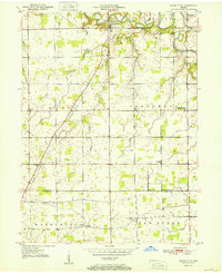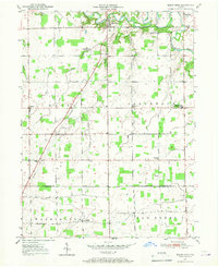
1950 Map of Mount Etna
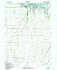
USGS Topo · Published 1967About this map
The Salamonie River meanders through the northern reaches of this mid-century Huntington County landscape, providing the primary drainage for a network of agricultural lands. Small rural communities like Mount Etna and Banquo anchor the area, connected by a grid of section roads and early telephone lines. The presence of the Star Commonwealth For Boys along Polk Creek indicates specialized land use in this period, while the Jefferson Twp Consolidated Sch serves as a central hub for the surrounding farmstead families.
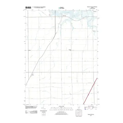
Find a feature on this map
25 named features on this map. Tap any name to fly to it.
Don’t see what you’re looking for? This feature index may not catch every label — zoom into the map to look around manually.
Map Details
Editions of this 1950 Mount Etna Map
This is the sole edition of this map. No revisions or reprints were ever made.
Historical Maps of Lancaster Through Time
8 maps found