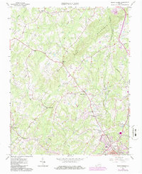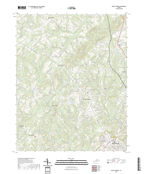
2022 Map of Mount Hermon
USGS Topo · Published 2022About this map
White Oak Mtn provides a significant topographic backdrop to this portion of Pittsylvania County, where the northern residential expansion of Danville meets a landscape of scattered rural communities. The map highlights the transition from the structured street plan of northern Danville, including the Highland Burial Park and the neighborhood of New Design, into the rolling country north of the Fall Creek drainage. Significant rural hubs like Mount Hermon and Witt serve as central points in a network of roads that follow the ridges and valleys carved by Sandy Cr and Little Sandy Cr. Local history is anchored by family landmarks and small settlements such as Carter Cem, Laniers Mill, and Pleasant Gap. The presence of Tuscarora Country Club Lake and Deer Wood Springs Lake indicates the modern residential and recreational development layered over this traditional Virginia Piedmont landscape.
Find a feature on this map
146 named features on this map. Tap any name to fly to it.
Don’t see what you’re looking for? This feature index may not catch every label — zoom into the map to look around manually.
Map Details
Editions of this 2022 Mount Hermon Map
This is the sole edition of this map. No revisions or reprints were ever made.