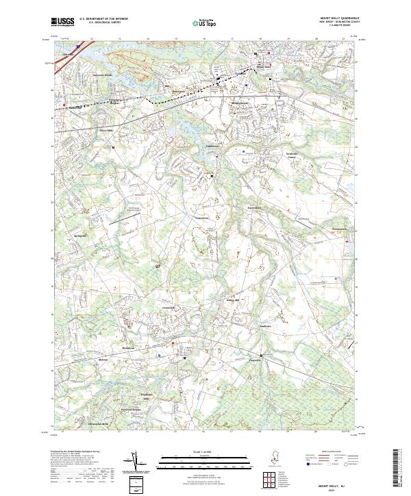
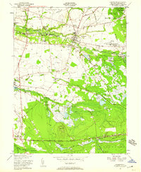
2023 Map of Mount Holly
USGS Topo · Published 2023About this map
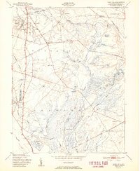
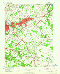
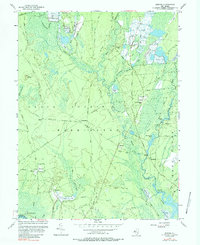
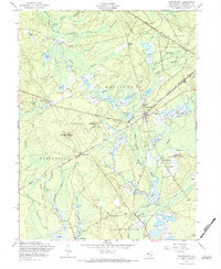
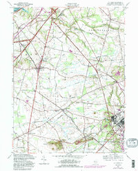
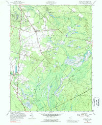
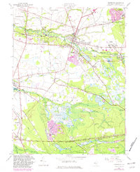
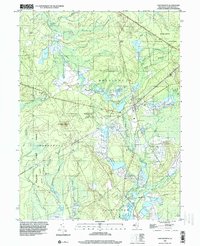
Mount Holly serves as a prominent hub in this Burlington County landscape, situated where the North Branch Rancocas Creek meets the historic county seat. The map documents a deeply layered settlement history, perhaps most significantly marked by the Mount Moriah Timbuctoo Graveyard near Hainesport, a site tied to the legendary Timbuctoo settlement. The area's early industrial roots are evidenced by a series of named mill sites along the waterways, including Kirbys Mill on the South Branch Rancocas Creek, and Oliphants Mills further south. Modern transportation corridors like Interstate 295 cut through older communities such as Rancocas Woods and Masonville, while aviation footprints are clear at the South Jersey Regional Airport and Flying W Airport. This detailed survey captures the evolution of these towns from colonial-era mill seats to contemporary residential and regional centers.
Find a feature on this map
64 named features on this map. Tap any name to fly to it.
Don’t see what you’re looking for? This feature index may not catch every label — zoom into the map to look around manually.
Map Details
Editions of this 2023 Mount Holly Map
This is the sole edition of this map. No revisions or reprints were ever made.
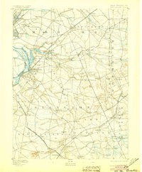
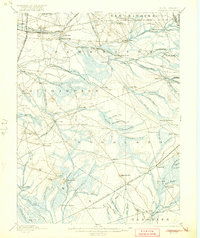
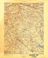
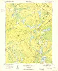
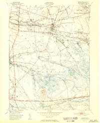
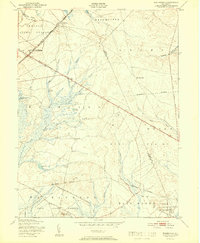
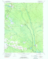
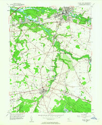
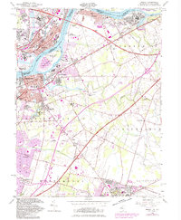
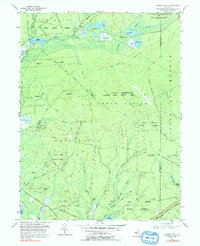
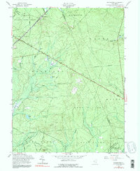
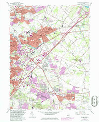
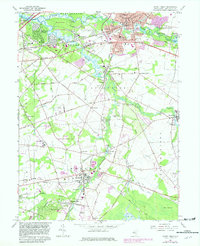
Historical Maps of Union Mills Through Time
51 maps found

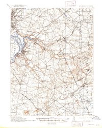
1888 Bordentown
Burlington County, NJ

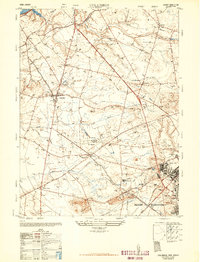
1888 Mount Holly
Burlington County, NJ

1888 Pemberton
Burlington County, NJ
1893 Bordentown
Burlington County, NJ

1894 Mount Holly
Burlington County, NJ

1894 Pemberton
Burlington County, NJ

1898 Mount Holly
Burlington County, NJ
1898 Pemberton
Burlington County, NJ
1900 Rancocas
Burlington County, NJ
1906 Bordentown
Burlington County, NJ

1919 Mount Holly
Burlington County, NJ

1942 Mount Holly
Burlington County, NJ

1942 Pemberton
Burlington County, NJ

1948 Bordentown
Burlington County, NJ
1948 Columbus
Burlington County, NJ

1949 Pemberton
Burlington County, NJ
1949 Pemberton
Burlington County, NJ
1951 Chatsworth
Burlington County, NJ
1951 Indian Mills
Burlington County, NJ
1951 Pemberton
Burlington County, NJ
1951 Woodmansie
Burlington County, NJ
1953 Atsion
Burlington County, NJ
1953 Moorestown
Burlington County, NJ
1953 Mount Holly
Burlington County, NJ
1955 Bristol
Burlington County, NJ
1955 Oswego Lake
Burlington County, NJ
1956 Jenkins
Burlington County, NJ
1957 Chatsworth
Burlington County, NJ
1957 Columbus
Burlington County, NJ
1957 Indian Mills
Burlington County, NJ
1957 Pemberton
Burlington County, NJ
1957 Woodmansie
Burlington County, NJ
1966 Moorestown
Burlington County, NJ
1967 Mount Holly
Burlington County, NJ
1995 Chatsworth
Burlington County, NJ
1995 Indian Mills
Burlington County, NJ

1995 Moorestown
Burlington County, NJ
1995 Woodmansie
Burlington County, NJ
1997 Atsion
Burlington County, NJ
1997 Jenkins
Burlington County, NJ
1997 Oswego Lake
Burlington County, NJ
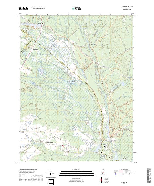
2023 Atsion
Burlington County, NJ
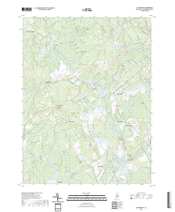
2023 Chatsworth
Burlington County, NJ
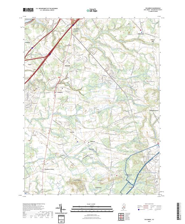
2023 Columbus
Burlington County, NJ
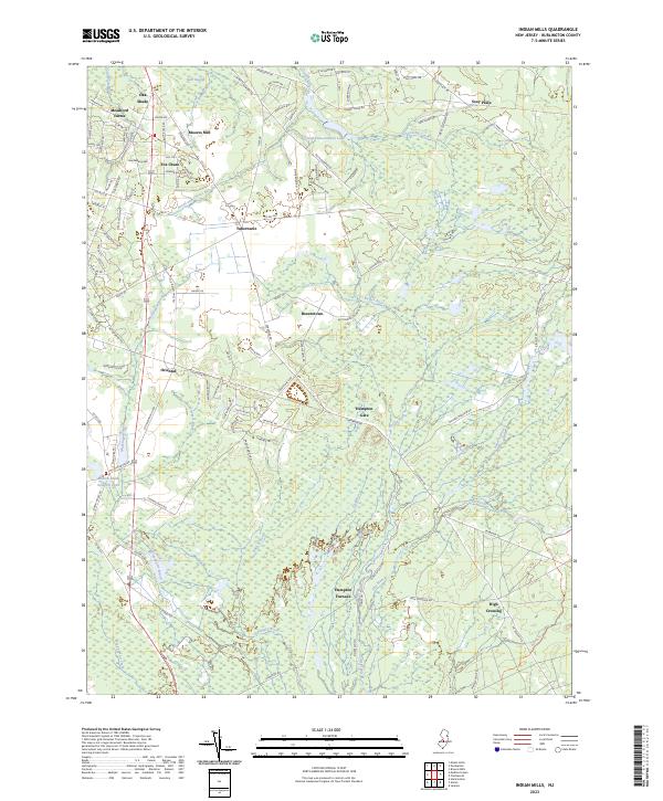
2023 Indian Mills
Burlington County, NJ
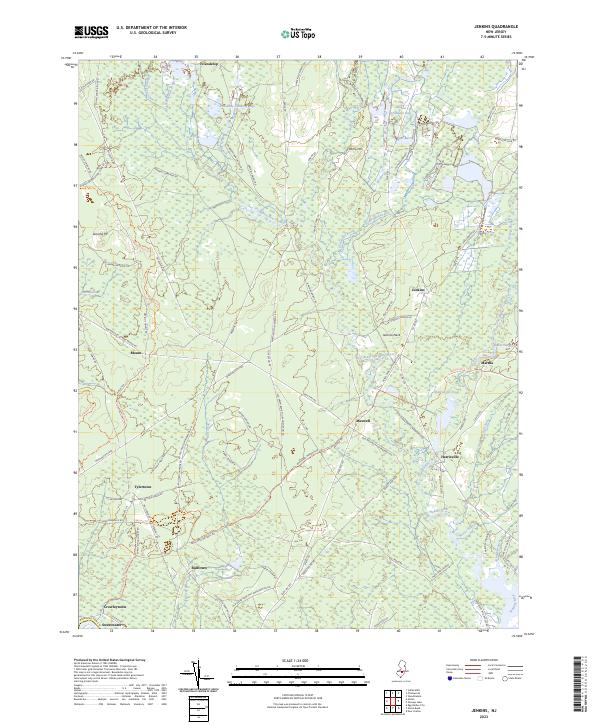
2023 Jenkins
Burlington County, NJ
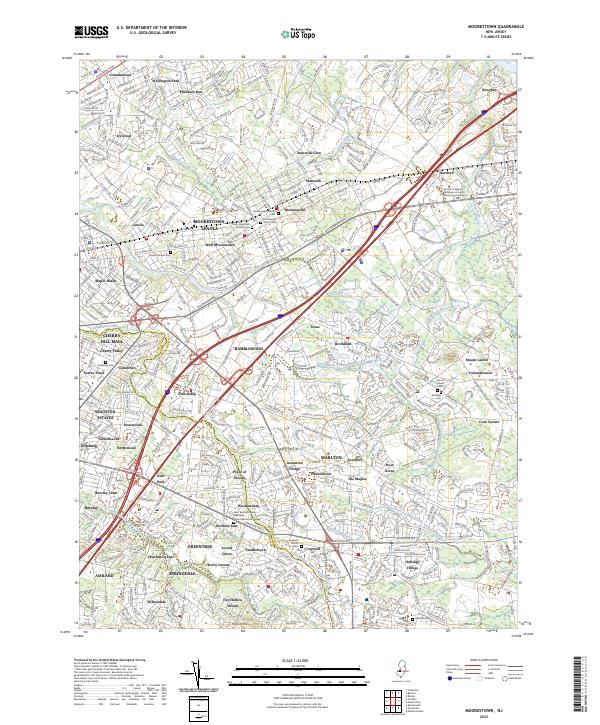
2023 Moorestown
Burlington County, NJ
2023 Mount Holly
Burlington County, NJ
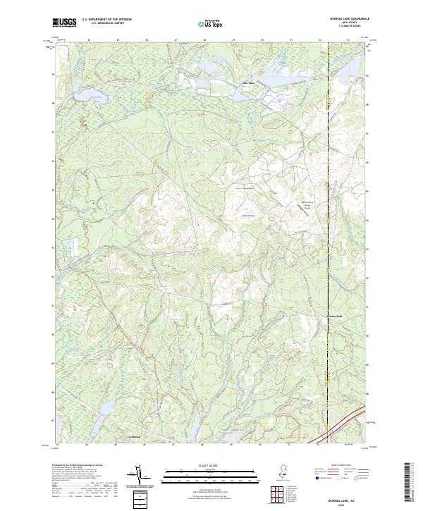
2023 Oswego Lake
Burlington County, NJ
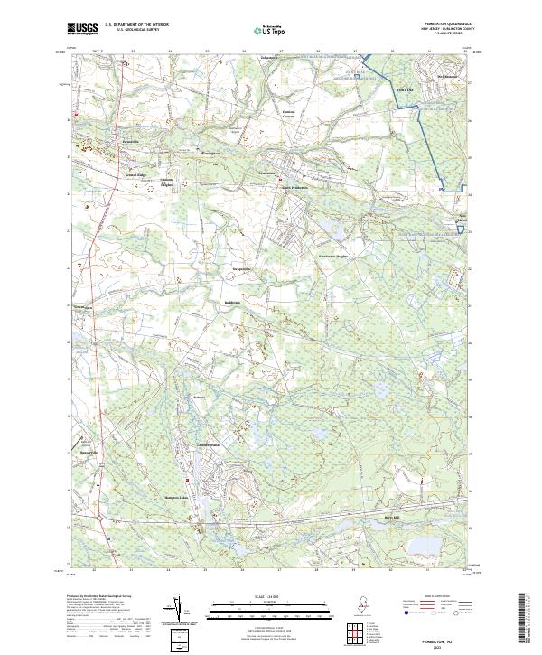
2023 Pemberton
Burlington County, NJ
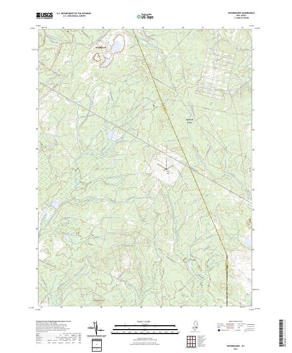
2023 Woodmansie
Burlington County, NJ
Featured Locations
- Lumberton Township, NJ
- Medford Township, NJ
- Willingboro Township, NJ
- Mount Holly Township, NJ
- Mount Laurel Township, NJ