Loading...
Loading map...2023 Map of Mount Holly Springs
USGS Topo · Published 2023About this map
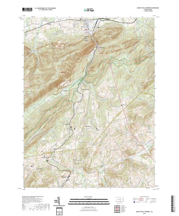
The northern tip of the Michaux State Forest and the rugged transition from the Cumberland Valley to the South Mountain range are detailed in this 2023 survey. This landscape is defined by its ridge-and-valley topography, with Mountain Creek carving a narrow corridor between Piney Mountain and Rocky Ridge. The Appalachian National Scenic Trail traverses these heights, passing landmark overlooks like Hammonds Rocks and peaks such as The Peak.
Find a feature on this map
45 named features on this map. Tap any name to fly to it.
Don’t see what you’re looking for? This feature index may not catch every label — zoom into the map to look around manually.
Map Details
Date Portrayed2023
Date Published2023
PublisherU.S. Geological Survey
Map TypeTopographic
Scale1:24000
Physical Dimensions24 x 29 inches
Editions of this 2023 Mount Holly Springs Map
This is the sole edition of this map. No revisions or reprints were ever made.
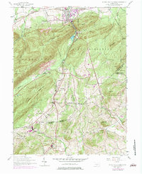
Historical Maps of Uriah Through Time
2 maps found
Featured Locations
- Mount Holly Springs, PA
- Dickinson Township, PA
- Latimore Township, PA
- Tyrone Township, PA
- Gardners, Tyrone Township
Source Details
SourceU.S. Geological Survey
CopyrightPublic Domain