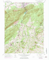
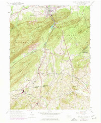
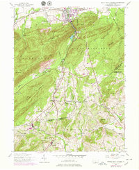
1952 Map of Mount Holly Springs
USGS Topo · Published 1984About this map
Mount Holly Springs serves as a focal point at the northern edge of this Pennsylvania landscape, where the Reading railroad corridor meets the industrial history of Upper Mill. The map documents a rural transition from the industrial valley at Barnitz to the high ridges of Mount Holly and Piney Mountain. In the south, the terrain descends into the fruit-growing and farming pockets of Peach Glen and Idaville, marked by a network of small community centers like Myerstown and Uriah.
Find a feature on this map
60 named features on this map. Tap any name to fly to it.
Don’t see what you’re looking for? This feature index may not catch every label — zoom into the map to look around manually.
Map Details
Editions of this 1952 Mount Holly Springs Map
6 editions found
Other maps of this area

1904 · Carlisle
USGS Topo · 1:62,500

1908 · Gettysburg
USGS Topo · 1:62,500

1909 · Fairfield
USGS Topo · 1:62,500

1919 · Newville
USGS Topo · 1:62,500

1942 · Gettysburg
USGS Topo · 1:125,000

1943 · Carlisle
USGS Topo · 1:62,500

1944 · Arendtsville
USGS Topo · 1:31,680
1944 · Biglerville
USGS Topo · 1:31,680

1944 · Hampton
USGS Topo · 1:31,680

1945 · Newville
USGS Topo · 1:62,500
Featured Places
- Latimore Township, PA
- Mount Holly Springs, PA
- Huntington Township, PA
- Starners, Dickinson Township
- Dickinson Township, PA