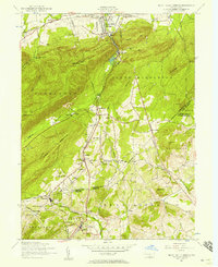
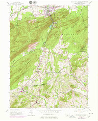
1952 Map of Mount Holly Springs
USGS Topo · Published 1958About this map
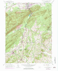
Mount Holly Springs sits at the gap where Mountain Creek cuts through the high ridges of Mount Holly Mountain, serving as a focal point for the Reading railroad corridor during the early 1950s. The landscape transition from the wooded heights of Piney Mountain and Keller Hill to the agricultural valleys of Latimore and Huntingdon reveals a network of rural life. Small communities and junction points like Hunters Run and Idaville are mapped in detail, alongside numerous local institutions such as Mt Zion Church and the Mountain View School. The presence of the Appalachian Trail crossing Rocky Ridge highlights the region's recreational geography, while the Telegraph relay station perched on the mountain ridge points to the infrastructure of the era. Genealogists will find particular value in the clearly marked family-named schools and cemeteries like Goodyear Cemetery and Millers School.
Find a feature on this map
55 named features on this map. Tap any name to fly to it.
Don’t see what you’re looking for? This feature index may not catch every label — zoom into the map to look around manually.
Map Details
Editions of this 1952 Mount Holly Springs Map
6 editions found
Other maps of this area

1904 · Carlisle
USGS Topo · 1:62,500

1908 · Gettysburg
USGS Topo · 1:62,500

1909 · Fairfield
USGS Topo · 1:62,500

1919 · Newville
USGS Topo · 1:62,500

1942 · Gettysburg
USGS Topo · 1:125,000

1943 · Carlisle
USGS Topo · 1:62,500

1944 · Arendtsville
USGS Topo · 1:31,680
1944 · Biglerville
USGS Topo · 1:31,680

1944 · Hampton
USGS Topo · 1:31,680

1945 · Newville
USGS Topo · 1:62,500
Featured Places
- Latimore Township, PA
- Mount Holly Springs, PA
- Huntington Township, PA
- Starners, Dickinson Township
- Dickinson Township, PA