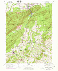
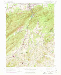
1952 Map of Mount Holly Springs
USGS Topo · Published 1979About this map
Yellow Breeches Creek flows through the northern reaches of this landscape near Barnitz, where the Reading railroad corridor cuts through the gap at Mount Holly Springs. The terrain is defined by the steep rises of Keller Hill and Mount Holly, with the Appalachian Trail traversing the ridgeline near Rocky Ridge. This mid-century survey captures a network of rural schoolhouses and churches that served the agricultural valleys, including Mountain View School and Mt Zion Church.
Find a feature on this map
60 named features on this map. Tap any name to fly to it.
Don’t see what you’re looking for? This feature index may not catch every label — zoom into the map to look around manually.
Map Details
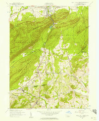
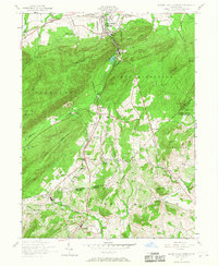
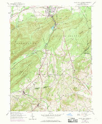
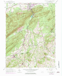
Editions of this 1952 Mount Holly Springs Map
6 editions found
Other maps of this area

1904 · Carlisle
USGS Topo · 1:62,500

1908 · Gettysburg
USGS Topo · 1:62,500

1909 · Fairfield
USGS Topo · 1:62,500

1919 · Newville
USGS Topo · 1:62,500

1942 · Gettysburg
USGS Topo · 1:125,000

1943 · Carlisle
USGS Topo · 1:62,500

1944 · Arendtsville
USGS Topo · 1:31,680
1944 · Biglerville
USGS Topo · 1:31,680

1944 · Hampton
USGS Topo · 1:31,680

1945 · Newville
USGS Topo · 1:62,500
Featured Places
- Latimore Township, PA
- Mount Holly Springs, PA
- Huntington Township, PA
- Starners, Dickinson Township
- Dickinson Township, PA