
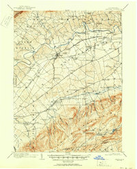
1919 Map of Newville
USGS Topo · Published 1919About this map
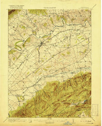
Newville sits at a junction of valley geography and early infrastructure, where the Cumberland Valley RR and Valley Road parallel the winding course of Conodoguinet Creek. The landscape transitions from the agricultural flats of Mifflin and Frankford townships to the steep, wooded rise of South Mountain in the south. This transition is marked by numerous springs and small settlements like Walnut Bottom and Hays Grove tucked along the base of the ridge.
Find a feature on this map
97 named features on this map. Tap any name to fly to it.
Don’t see what you’re looking for? This feature index may not catch every label — zoom into the map to look around manually.
Map Details
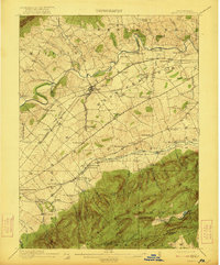
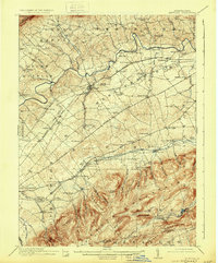
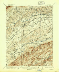
Editions of this 1919 Newville Map
6 editions found
Other maps of this area

1902 · Chambersburg
USGS Topo · 1:62,500

1904 · Carlisle
USGS Topo · 1:62,500

1907 · New Bloomfield
USGS Topo · 1:62,500

1908 · Gettysburg
USGS Topo · 1:62,500

1909 · Fairfield
USGS Topo · 1:62,500

1919 · Mattawana
USGS Topo · 1:62,500

1923 · Shippensburg
USGS Topo · 1:62,500

1930 · Loysville
USGS Topo · 1:62,500

1933 · Loysville
USGS Topo · 1:62,500

1936 · East Waterford
USGS Topo · 1:48,000
Featured Places
- Shippensburg, PA
- Dickinson, Penn Township
- Plainfield, West Pennsboro Township
- Southampton Township, PA
- North Newton Township, PA