
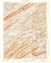
1933 Map of Loysville
USGS Topo · Published 1933About this map
The ridge-and-valley landscape of central Pennsylvania is deeply etched across this 1930s survey, defined by the parallel runs of Tuscarora Ridge and Bowers Mountain. Between these high barriers, rural life centers on small crossroads settlements and the numerous one-room schoolhouses that served farming families, such as Academia Sch and Kennedy Valley Sch. The map documents a transition in mobility as the State Highway system begins to connect long-isolated valleys, yet the placement of Fort Robinson and several cemeteries suggests the deeper colonial and early American roots of Perry County.
Find a feature on this map
133 named features on this map. Tap any name to fly to it.
Don’t see what you’re looking for? This feature index may not catch every label — zoom into the map to look around manually.
Map Details
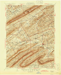
Editions of this 1933 Loysville Map
3 editions found
Other maps of this area

1904 · Carlisle
USGS Topo · 1:62,500

1907 · New Bloomfield
USGS Topo · 1:62,500

1907 · Millerstown
USGS Topo · 1:62,500

1919 · Newville
USGS Topo · 1:62,500

1919 · Mattawana
USGS Topo · 1:62,500

1923 · Shippensburg
USGS Topo · 1:62,500

1924 · Lewistown
USGS Topo · 1:62,500

1925 · Mifflintown
USGS Topo · 1:48,000

1927 · Lewisburg
USGS Topo · 1:62,500

1930 · Loysville
USGS Topo · 1:62,500
Featured Places
- Saville Township, PA
- Centre, Southwest Madison Township
- Spruce Hill Township, PA
- Landisburg, PA
- Milford Township, PA