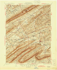
1933 Map of Loysville
USGS Topo · Published 1945About this map
Tuscarora Mountain and Blue Mountain define the southwest-to-northeast grain of this rural landscape, carving out the fertile Limestone and Kennedy valleys. Between these ridges, the central corridor is anchored by the crossroads of Loysville and Landisburg, where a dense network of country roads connects isolated farmsteads and numerous local institutions. The distribution of schools like Wisdom Sch and Pine Hill Sch alongside rural congregations at St Paul Ch and Bethel Ch illustrates the decentralized community structure of the 1930s.
Find a feature on this map
149 named features on this map. Tap any name to fly to it.
Don’t see what you’re looking for? This feature index may not catch every label — zoom into the map to look around manually.
Map Details
Editions of this 1933 Loysville Map
3 editions found

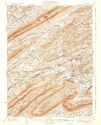
Other maps of this area

1904 · Carlisle
USGS Topo · 1:62,500

1907 · New Bloomfield
USGS Topo · 1:62,500

1907 · Millerstown
USGS Topo · 1:62,500

1919 · Newville
USGS Topo · 1:62,500

1919 · Mattawana
USGS Topo · 1:62,500

1923 · Shippensburg
USGS Topo · 1:62,500

1924 · Lewistown
USGS Topo · 1:62,500

1925 · Mifflintown
USGS Topo · 1:48,000

1927 · Lewisburg
USGS Topo · 1:62,500

1930 · Loysville
USGS Topo · 1:62,500
Featured Places
- Saville Township, PA
- Centre, Southwest Madison Township
- Spruce Hill Township, PA
- Landisburg, PA
- Milford Township, PA