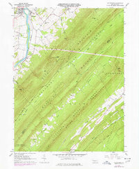
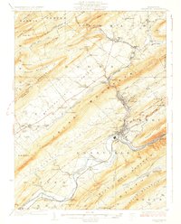
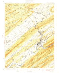
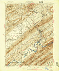
1927 Map of Lewisburg
USGS Topo · Published 1927About this map
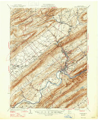
The Juniata River winds through the southern reaches of this landscape, anchoring a corridor of industrial and transit hubs like Lewistown and McVeytown. During this era in the late 1920s, the river valley and the parallel Kishacoquillas Valley served as vital conduits for the Pennsylvania RR, connecting the agricultural plains with the growing manufacturing centers. The terrain is defined by massive ridges including Jacks Mountain and Shade Mountain, which separate isolated farming pockets from busier milling sites like Union Mills and Strodes Mills. Numerous schools, such as Ore Bank School and McNitt School, dot the townships, reflecting a decentralized rural education system before the mid-century push for consolidation. For the genealogist or local historian, the map preserves the exact locations of forgotten crossings like McCoys Ford and the small worker settlements of Klondyke and Lumber City that supported the timber and rail industries.
Find a feature on this map
103 named features on this map. Tap any name to fly to it.
Don’t see what you’re looking for? This feature index may not catch every label — zoom into the map to look around manually.
Map Details
Editions of this 1927 Lewisburg Map
5 editions found
Historical Maps of Lewistown Through Time
1 maps found