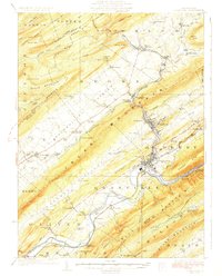
1927 Map of Lewistown
USGS Topo · Published 1927About this map
Kishacoquillas Valley dominates this 1920s landscape, carved between the massive ridges of Jacks Mountain and Broad Mountain. The industrial and transportation corridor along Kishacoquillas Creek links settlements like Reedsville, Yeagertown, and Burnham to the regional hub of Lewistown. To the south, the Junata River winds through the valley, flanked by the Pennsylvania RR and a network of river-dependent landmarks including McCoys Ford and Lapolds Ford.
Find a feature on this map
121 named features on this map. Tap any name to fly to it.
Don’t see what you’re looking for? This feature index may not catch every label — zoom into the map to look around manually.
Map Details
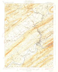
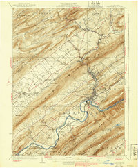
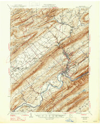
Editions of this 1927 Lewistown Map
5 editions found
Other maps of this area

1908 · Bellefonte
USGS Topo · 1:62,500

1909 · Bellefonte
USGS Topo · 1:62,500

1919 · Mattawana
USGS Topo · 1:62,500

1919 · Menno
USGS Topo · 1:62,500

1922 · Mt Union
USGS Topo · 1:48,000

1924 · Mt. Union
USGS Topo · 1:62,500

1924 · Centre Hall
USGS Topo · 1:62,500

1924 · Lewistown
USGS Topo · 1:62,500

1925 · Mifflintown
USGS Topo · 1:48,000

1927 · Lewisburg
USGS Topo · 1:62,500