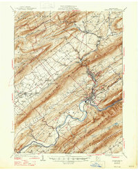
1927 Map of Lewistown
USGS Topo · Published 1947About this map
The Juniata River carves through the heart of Mifflin County, defining the industrial and transport corridor between Lewistown and McVeytown. In the 1920s, this region was a hub of movement, centered on the Pennsylvania RR and the winding course of the river. The valley floors are densely punctuated with small settlements and rural education sites, including the Ore Bank School and Emanuel Chapel, reflecting a landscape deeply rooted in agrarian and early industrial communities.
Find a feature on this map
79 named features on this map. Tap any name to fly to it.
Don’t see what you’re looking for? This feature index may not catch every label — zoom into the map to look around manually.
Map Details
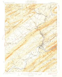
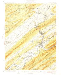
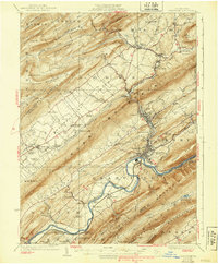
Editions of this 1927 Lewistown Map
5 editions found
Other maps of this area

1908 · Bellefonte
USGS Topo · 1:62,500

1909 · Bellefonte
USGS Topo · 1:62,500

1919 · Mattawana
USGS Topo · 1:62,500

1919 · Menno
USGS Topo · 1:62,500

1922 · Mt Union
USGS Topo · 1:48,000

1924 · Mt. Union
USGS Topo · 1:62,500

1924 · Centre Hall
USGS Topo · 1:62,500

1924 · Lewistown
USGS Topo · 1:62,500

1925 · Mifflintown
USGS Topo · 1:48,000

1927 · Lewisburg
USGS Topo · 1:62,500