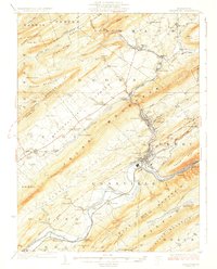
1927 Map of Lewistown
USGS Topo · Published 1927About this map
The Juniata River winds through a complex landscape of sharp ridges and deep agricultural valleys in central Pennsylvania. This 1920s survey captures Lewistown as the industrial heart of the region, where the Pennsylvania RR intersects with local lines at the dramatic gap of Manns Narrows. The map meticulously details a rural economy transitioning from mill-based industry to modern transportation, evidenced by sites like Strodes Mills and Union Mills alongside the emerging State Highway No 33.
Find a feature on this map
106 named features on this map. Tap any name to fly to it.
Don’t see what you’re looking for? This feature index may not catch every label — zoom into the map to look around manually.
Map Details
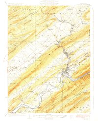
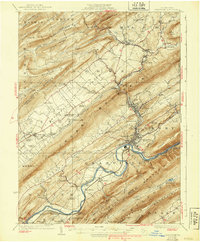
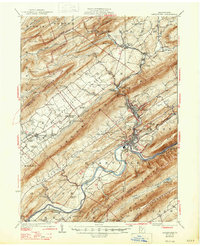
Editions of this 1927 Lewistown Map
5 editions found
Other maps of this area

1908 · Bellefonte
USGS Topo · 1:62,500

1909 · Bellefonte
USGS Topo · 1:62,500

1919 · Mattawana
USGS Topo · 1:62,500

1919 · Menno
USGS Topo · 1:62,500

1922 · Mt Union
USGS Topo · 1:48,000

1924 · Mt. Union
USGS Topo · 1:62,500

1924 · Centre Hall
USGS Topo · 1:62,500

1924 · Lewistown
USGS Topo · 1:62,500

1925 · Mifflintown
USGS Topo · 1:48,000

1927 · Lewisburg
USGS Topo · 1:62,500