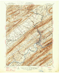
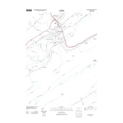
1927 Map of Lewistown
USGS Topo · Published 1939About this map
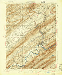
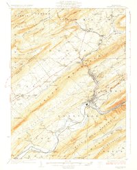
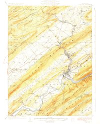
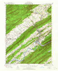
Lewistown serves as the focal point of this Central Pennsylvania landscape, situated at the dramatic bend of the Juniata River where the Pennsylvania RR follows the narrow corridor of the Lewistown Narrows. The map reveals a region defined by its long, parallel ridges, such as Jacks Mountain and Blue Mountain, which separate fertile agricultural strips like the Kishacoquillas Valley. This valley is dotted with local landmarks including Belleville, Alexander Springs, and several rural schoolhouses like Yoder School and Ore Bank School.
Find a feature on this map
110 named features on this map. Tap any name to fly to it.
Don’t see what you’re looking for? This feature index may not catch every label — zoom into the map to look around manually.
Map Details
Editions of this 1927 Lewistown Map
5 editions found

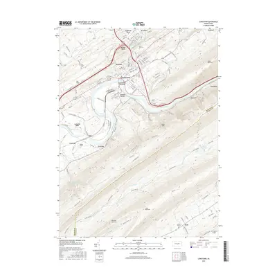
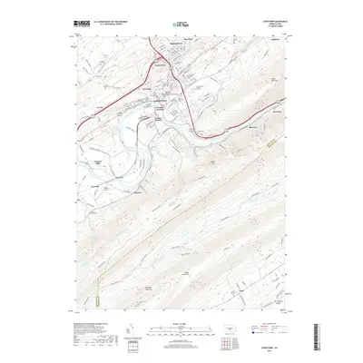
Historical Maps of Lewistown Through Time
10 maps found
1924 Lewistown
Mifflin County, PA
1927 Lewistown
Mifflin County, PA

1943 Lewistown
Mifflin County, PA
1966 Lewistown
Mifflin County, PA
1977 Lewistown
Mifflin County, PA
2010 Lewistown
Mifflin County, PA
2013 Lewistown
Mifflin County, PA
2016 Lewistown
Mifflin County, PA
2019 Lewistown
Mifflin County, PA
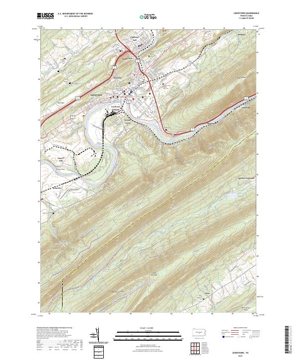
2023 Lewistown
Mifflin County, PA