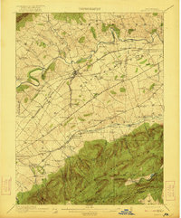
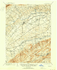
1919 Map of Newville
USGS Topo · Published 1921About this map
Newville serves as the central hub for this corner of the Cumberland Valley, where the Cumberland Valley RR and the Electric RR intersect. The landscape is defined by the sharp transition between the fertile valley floor, drained by Conodoguinet Creek and Yellow Breeches Creek, and the steep slopes of South Mountain to the south. Small rural hamlets such as Walnut Bottom and New Lancaster line the foothills, while the valley itself is dotted with one-room schools like Bluehill School and Savannah School.
Find a feature on this map
108 named features on this map. Tap any name to fly to it.
Don’t see what you’re looking for? This feature index may not catch every label — zoom into the map to look around manually.
Map Details
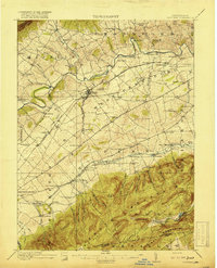
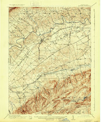
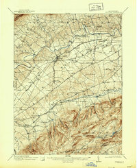
Editions of this 1919 Newville Map
6 editions found
Other maps of this area

1902 · Chambersburg
USGS Topo · 1:62,500

1904 · Carlisle
USGS Topo · 1:62,500

1907 · New Bloomfield
USGS Topo · 1:62,500

1908 · Gettysburg
USGS Topo · 1:62,500

1909 · Fairfield
USGS Topo · 1:62,500

1919 · Newville
USGS Topo · 1:62,500

1919 · Mattawana
USGS Topo · 1:62,500

1923 · Shippensburg
USGS Topo · 1:62,500

1930 · Loysville
USGS Topo · 1:62,500

1933 · Loysville
USGS Topo · 1:62,500
Featured Places
- Shippensburg, PA
- Dickinson, Penn Township
- Plainfield, West Pennsboro Township
- Southampton Township, PA
- North Newton Township, PA