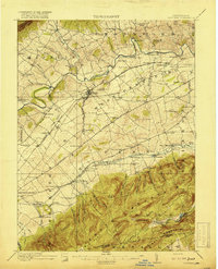
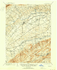
1919 Map of Newville
USGS Topo · Published 1919About this map
Conodoguinet Creek meanders across the Cumberland Valley, anchoring a landscape of established milling operations and railroad hubs just before the 1920s. The agrarian character of the region is evident in the dense distribution of family-named landmarks and rural infrastructure, from Reiter's Mill and Greider's Mill in the north to the industrial corridor of the Cumberland Valley RR passing through Newville. The town serves as a central node, flanked by smaller settlements like Plainfield and Oakville, while the Electric Ry provides a glimpse into the era's interurban transit network.
Find a feature on this map
117 named features on this map. Tap any name to fly to it.
Don’t see what you’re looking for? This feature index may not catch every label — zoom into the map to look around manually.
Map Details
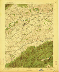
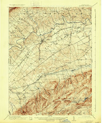
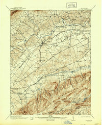
Editions of this 1919 Newville Map
6 editions found
Other maps of this area

1902 · Chambersburg
USGS Topo · 1:62,500

1904 · Carlisle
USGS Topo · 1:62,500

1907 · New Bloomfield
USGS Topo · 1:62,500

1908 · Gettysburg
USGS Topo · 1:62,500

1909 · Fairfield
USGS Topo · 1:62,500

1919 · Newville
USGS Topo · 1:62,500

1919 · Mattawana
USGS Topo · 1:62,500

1923 · Shippensburg
USGS Topo · 1:62,500

1930 · Loysville
USGS Topo · 1:62,500

1933 · Loysville
USGS Topo · 1:62,500
Featured Places
- Shippensburg, PA
- Dickinson, Penn Township
- Plainfield, West Pennsboro Township
- Southampton Township, PA
- North Newton Township, PA