
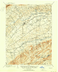
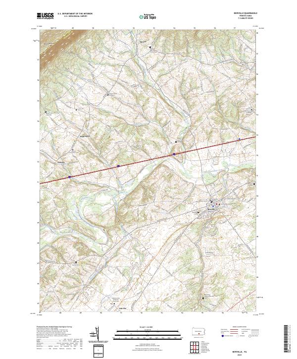
1945 Map of Newville
USGS Topo · Published 1945About this map
The Cumberland Valley agricultural and industrial landscape unfolds around Newville, where the Pennsylvania Turnpike cuts through a dense network of older thoroughfares like the Carlisle Road. This mid-century survey captures a rural economy still defined by local milling and rail transport, featuring sites such as Elliotts Mill and Moors Mill. To the south, the terrain shifts abruptly toward the forested slopes of the South Mountain range, anchored by Pine Grove Furnace and Laurel Forge Pond.
Find a feature on this map
84 named features on this map. Tap any name to fly to it.
Don’t see what you’re looking for? This feature index may not catch every label — zoom into the map to look around manually.
Map Details
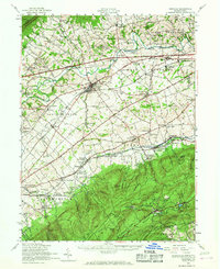
Editions of this 1945 Newville Map
This is the sole edition of this map. No revisions or reprints were ever made.
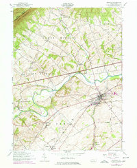
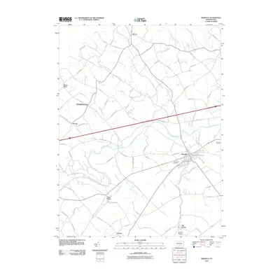
Historical Maps of Shippensburg Through Time
9 maps found
1919 Newville
Cumberland County, PA
1945 Newville
Cumberland County, PA
1952 Newville
Cumberland County, PA
1952 Newville
Cumberland County, PA
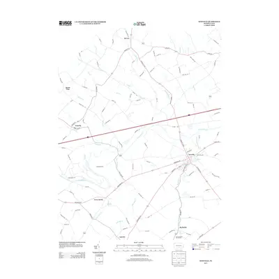
2010 Newville
Cumberland County, PA
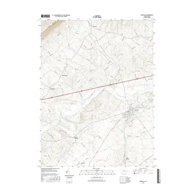
2013 Newville
Cumberland County, PA
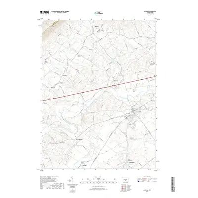
2016 Newville
Cumberland County, PA
2019 Newville
Cumberland County, PA
2023 Newville
Cumberland County, PA
Featured Locations
- Shippensburg, PA
- Southampton Township, PA
- North Newton Township, PA
- Dickinson, Penn Township
- Plainfield, West Pennsboro Township