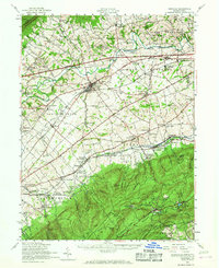
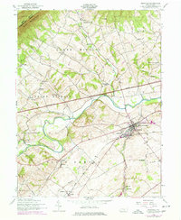
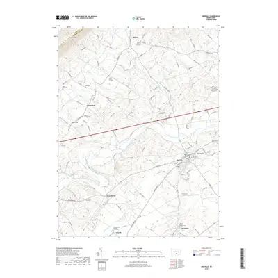
1952 Map of Newville
USGS Topo · Published 1967About this map
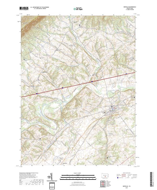
Conodoguinet Creek and Yellow Breeches Creek wind through this mid-century landscape, framing the valley around Newville. The area shows a mature agricultural and transport network during the early 1950s, where the high-speed Pennsylvania Turnpike cuts across established townships like West Pennsboro and Upper Frankford. Local life centers on numerous country schools and churches, including Zion Ch and the Dickinson Township School, while the Reading Railroad provides a critical industrial link for smaller settlements such as Oakville and Huntsdale.
Find a feature on this map
126 named features on this map. Tap any name to fly to it.
Don’t see what you’re looking for? This feature index may not catch every label — zoom into the map to look around manually.
Map Details
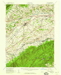
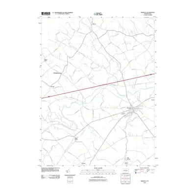
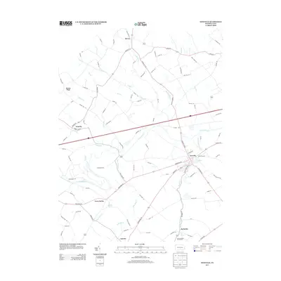
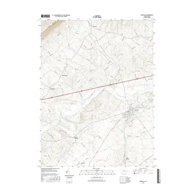
Editions of this 1952 Newville Map
3 editions found
Historical Maps of Shippensburg Through Time
9 maps found
1919 Newville
Cumberland County, PA

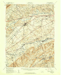
1945 Newville
Cumberland County, PA
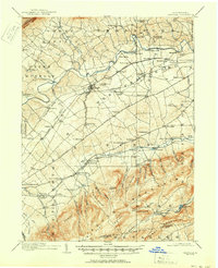
1952 Newville
Cumberland County, PA
1952 Newville
Cumberland County, PA
2010 Newville
Cumberland County, PA
2013 Newville
Cumberland County, PA
2016 Newville
Cumberland County, PA
2019 Newville
Cumberland County, PA
2023 Newville
Cumberland County, PA
Featured Locations
- Shippensburg, PA
- Southampton Township, PA
- North Newton Township, PA
- Dickinson, Penn Township
- Plainfield, West Pennsboro Township