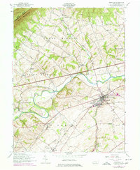
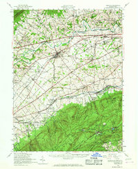
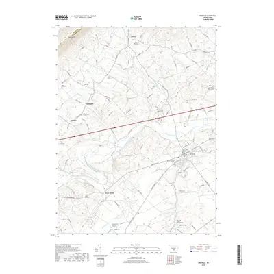
1952 Map of Newville
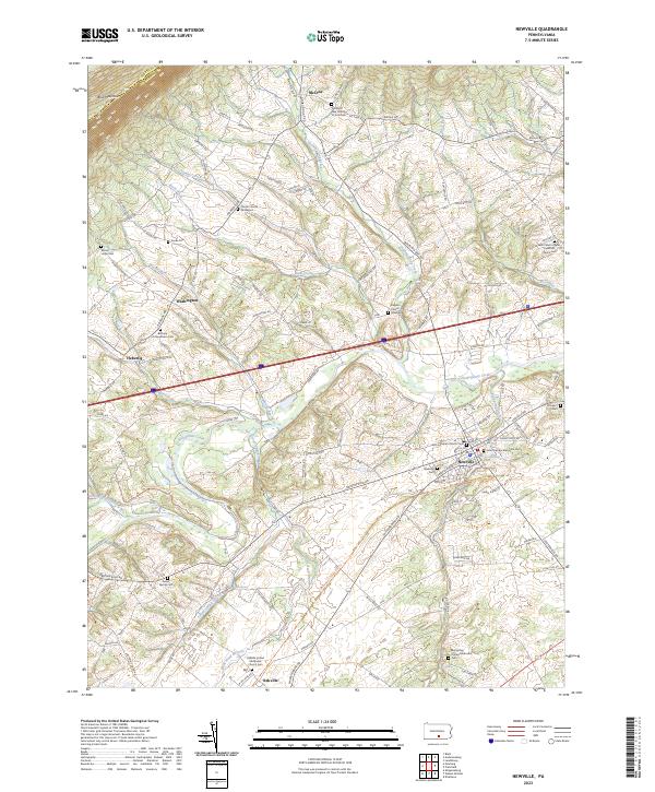
USGS Topo · Published 1977About this map
Newville sits at a historic crossroads in the Cumberland Valley, where the Conodoguinet Creek winds through a landscape of established townships like North Newton and West Pennsboro. The map captures a moment of infrastructure transition, showing the Pennsylvania Turnpike cutting across the valley floor while older local features remain intact. A high concentration of rural education sites, such as the Gillespie School and Stouts School, reflects the area's densely settled farming community at mid-century.
Find a feature on this map
52 named features on this map. Tap any name to fly to it.
Don’t see what you’re looking for? This feature index may not catch every label — zoom into the map to look around manually.
Map Details
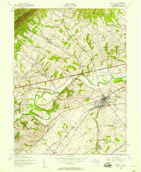
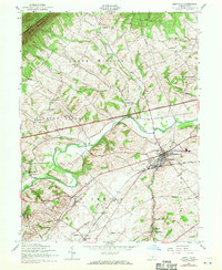
Editions of this 1952 Newville Map
3 editions found
Historical Maps of North Newton Township Through Time
9 maps found
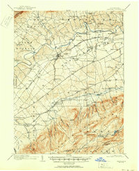
1919 Newville
Cumberland County, PA

1945 Newville
Cumberland County, PA
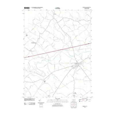
1952 Newville
Cumberland County, PA
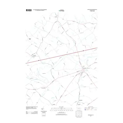
1952 Newville
Cumberland County, PA
2010 Newville
Cumberland County, PA
2013 Newville
Cumberland County, PA
2016 Newville
Cumberland County, PA
2019 Newville
Cumberland County, PA
2023 Newville
Cumberland County, PA
Featured Locations
- Newville, PA
- North Newton Township, PA
- Upper Frankford Township, PA
- West Pennsboro Township, PA
- Oakville, North Newton Township